Author Archives: Kathryn Bashaar

The National Road in Indiana and Illinois

Our final drive along the National Road took us through Indiana and Illinois, where we learned that flat, fertile farmland plus a road added up to prosperity, at least in the nineteenth century.

Our first stop in Indiana was the Welcome Center in Richmond. Angel Groves, their Communications and Social Media Specialist, was very helpful when we told her that we were travelling and writing about the whole road. The Welcome Center offers a great deal of informational material, most of it free.

Centerville

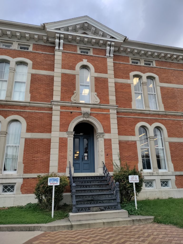
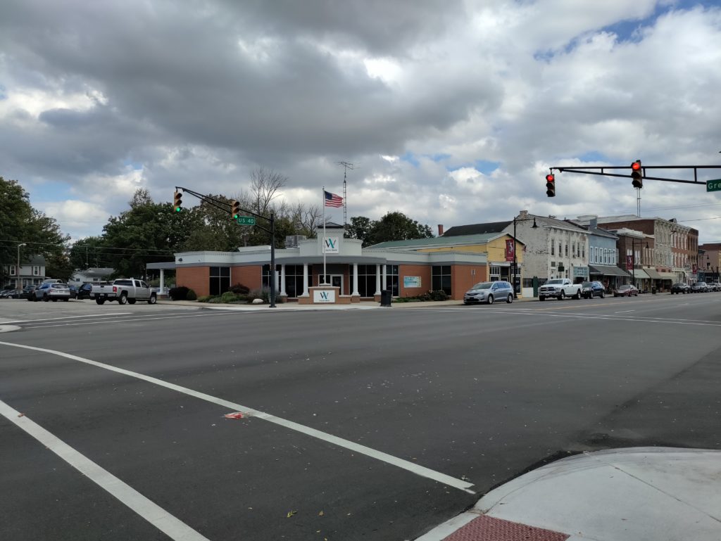
The theme that emerged during our drive through Indiana was prosperity. The main street of Centerville, our next stop, exemplified that theme. The little town is very well-preserved, lined by a magnificent nineteenth-century library building, antique shops and other small businesses.

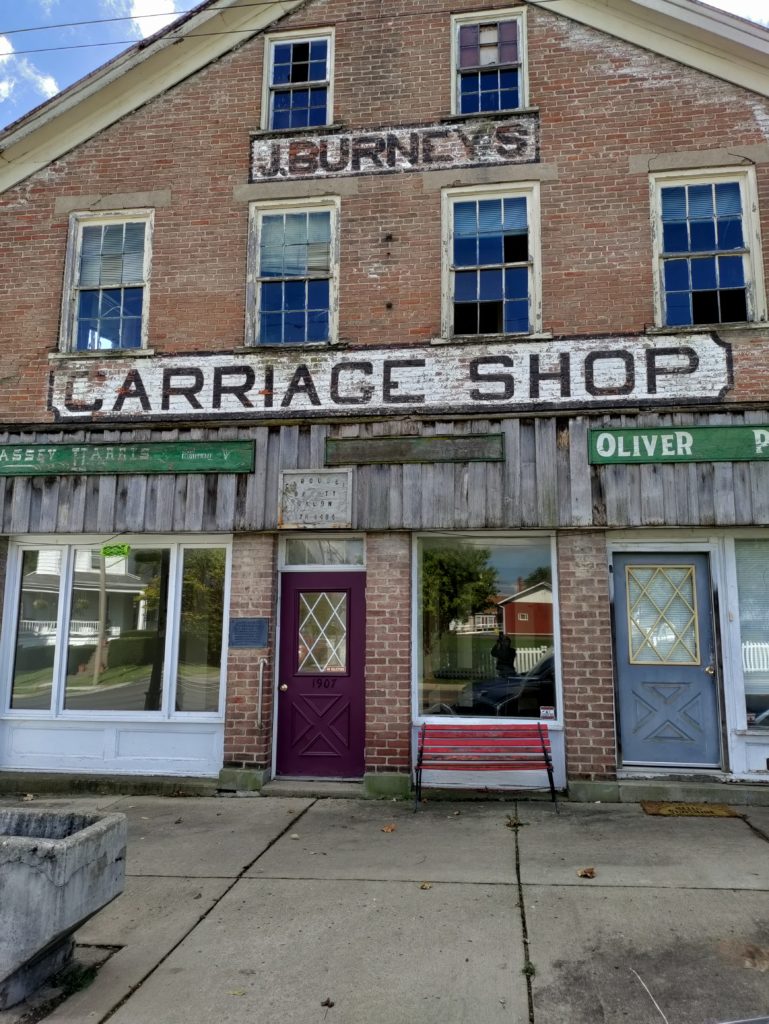
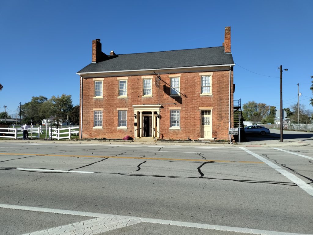
Similar to Morristown, Ohio, plaques mark many of the buildings, indicating the year that they were built and the name of the original owner. Many buildings were former taverns and inns, and feature the original covered archways that guests used to bring carriages to the stables in the rear. Centerville is also home to the restored house of Oliver P. Morton, Indiana’s Civil War era governor.

Cambridge City

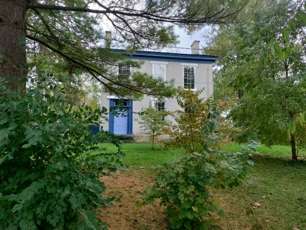
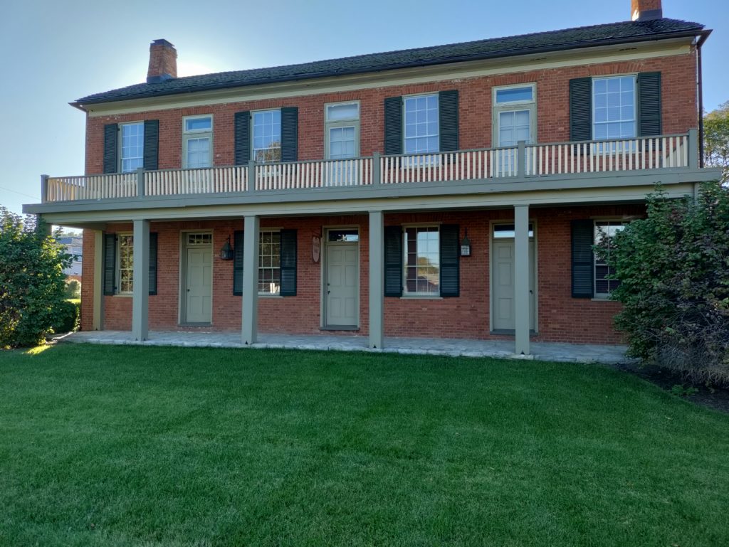
Just outside Cambridge City lies the Huddleston Farm House, constructed in 1841. Huddleston was a pretty smart guy. He intended to farm his land, but recognized that farmers often need a supplementary income. He situated and designed his farm house to also serve as a place where travelers could rest and buy provisions. The ground floor of the three-story house featured two rooms with outside entrances. Twenty-five cents a day bought shelter and a fireplace to cook your own hot meal. For an additional fee, Huddleston stabled and fed animals and provided meals. The building and grounds are open for tours on a limited basis.

In Cambridge City itself, we discovered more well-preserved architecture and had a great lunch at Kings CafĂ© and Bakery. At Kings, we also sampled Indiana’s state pie: sugar-and-cream pie. Delicious! We picked up the recipe, but that recipe didn’t work out for me. So, I’m now on the lookout for a better sugar-and-cream pie recipe. If I find one, I’ll publish it. I’d never heard of sugar-and-cream pie before, but it is definitely a treat not to be missed.

Decline and Rebirth

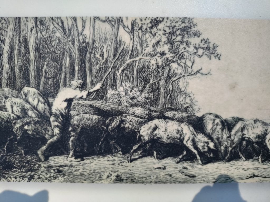
Boom and bust is the way of capitalism, and so it was with the National Road in Indiana. Imagine traveling on a rainy fall day, with mud up to the carriage’s axles, every bone in your body aching from bumping along the rough gravel road. Imagine sharing that road with farmers herding cattle, hogs and geese. Hog drovers were such a problem that they are the origin of the term “road hog.”

Now imagine that railroads start to span the Midwest, as they did in the 1850s. The railcars are enclosed. The ride is smooth and fast, with no impediments by livestock.  As the railroads advanced, traffic on the National Road declined. The prosperous little towns faded, and some disappeared completely.

The Road was reborn in the 1920s, as automobile traffic grew. Farms like the Huddlestons’ started renting camping space to motorists. Gas stations, diners and motels replaced taverns, blacksmiths and wheelwrights. You can still visit the Twigg Rest Stop, an early version of the rest stops that stand along every major highway in the United States.

The Studebaker blacksmith shop in South Bend was an Indiana business that prospered greatly from the dawning automobile age. The blacksmith shop became Studebaker Manufacturing in 1868, primarily making wagons. In the early twentieth century, the company pivoted to motorized vehicles. They built their first electric car in 1902, and their first gas car in 1904, the only manufacturer in the United States known to successfully transition from horse-drawn to gas-driven vehicles. Studebaker prospered until the 1960s. Manufacturing in Indiana ended in 1963, and last Studebaker was made in Ontario in 1966.

Other Indiana Highlights

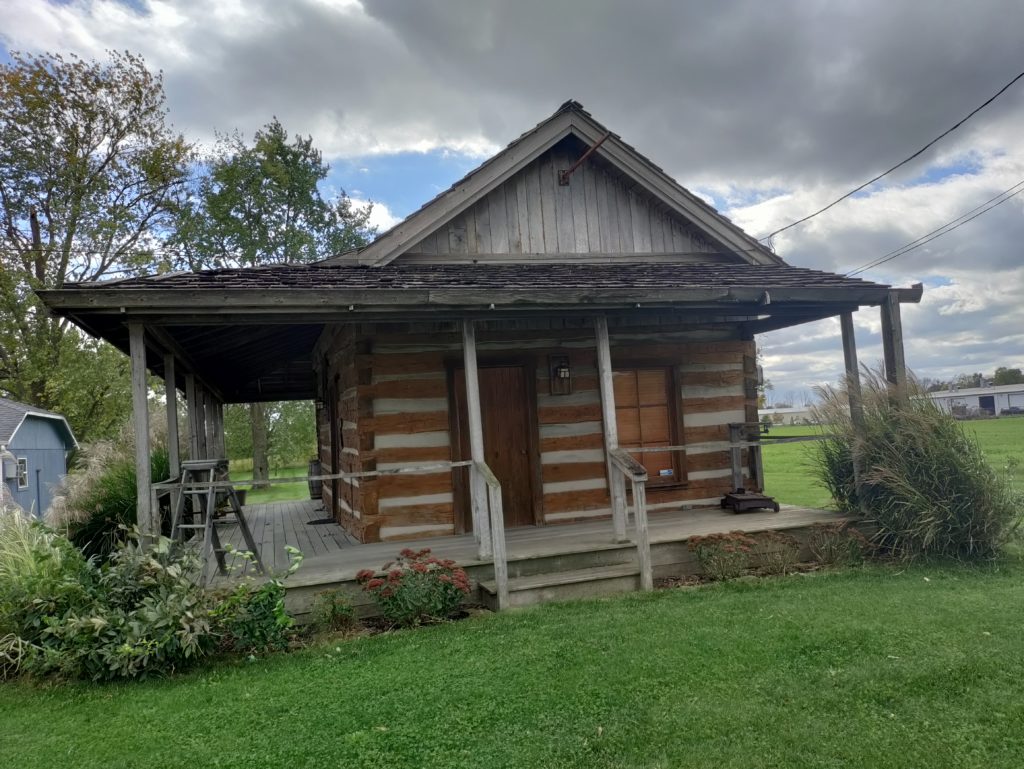
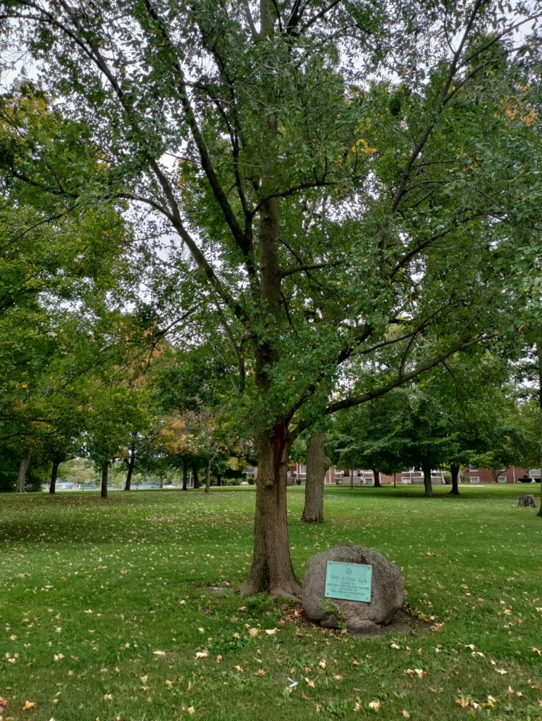
On our way out of the state of Indiana, we also passed a recently-discovered one-room log cabin from the National Road era, and the Van Buren Elm. In 1842, at the site of the elm, President Van Buren’s carriage overturned, sending him into the mud. One story claims that the accident was staged, to change Van Buren’s mind about his opposition to using federal funds to improve the National Road.

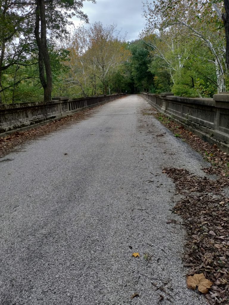
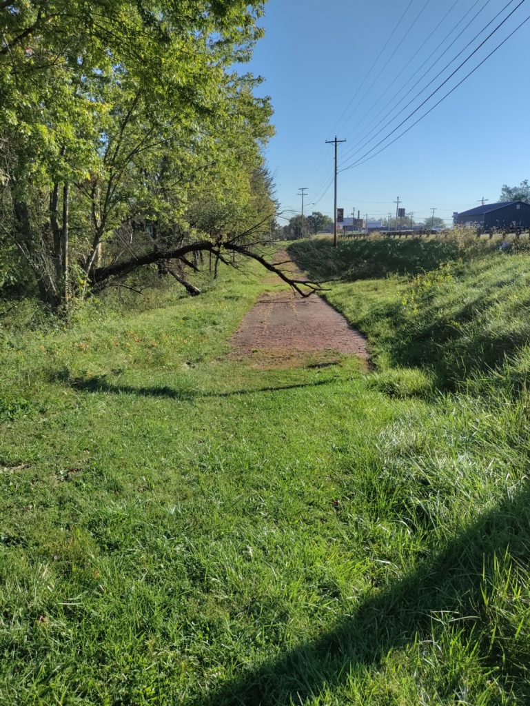
We also stood on a surviving 1920s gravel section of the Road, running parallel to the current road, near Putnamville.

The National Road in Illinois

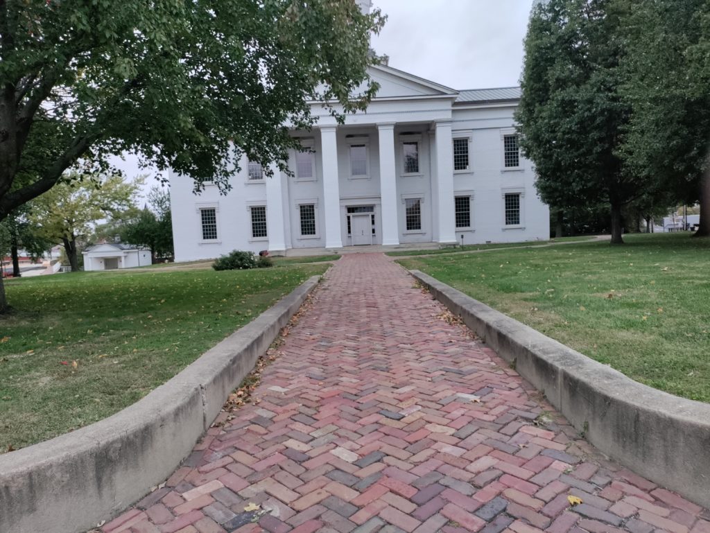
Illinois doesn’t do as good a job with the National Road as Ohio and Indiana. But we did enjoy our stop at the terminus of the Road in Vandalia. Vandalia was the capital of Illinois from 1819 until 1839, and the old statehouse is very nicely preserved. Abraham Lincoln served there as a state representative from 1834 until the capital was moved to Springfield in 1839.

At the statehouse, in 1837, Lincoln first went on record in opposition to slavery. Although officially a free state, Illinois was sympathetic to slavery. Many Illinoisians were transplants from the slave states of Kentucky and Tennessee. In Lincoln’s time the state also still allowed indentured servitude. Indentures could last as long as 99 years, and the owner of an indenture could pass it along to his heirs.  

In 1837, in an act of moral support with no real consequences, the Illinois state legislature passed a resolution condemning abolition societies. The resolution also included the opinion that slavery could never be abolished in Washington, DC, without the consent of its citizens. Lincoln and another legislator, Dan Stone, objected to the resolution.

Slavery remained legal in our nation’s capital until April 16, 1862, when it was abolished by executive order by President Abraham Lincoln.

The End of the Road

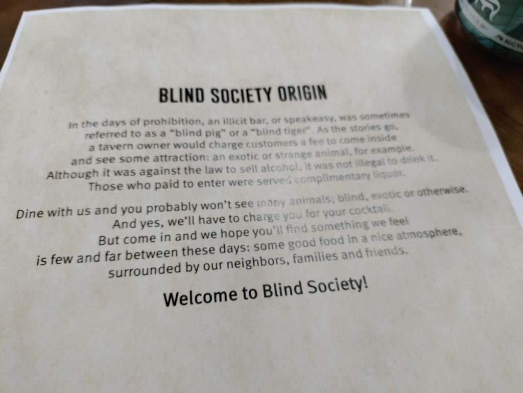
We ended our time on the National Road with an excellent dinner at The Blind Society in Vandalia. The restaurant shares space and ownership with Witness Distillery, a local bourbon distillery. The owners happened to be in the restaurant the evening we visited, and Al, a big bourbon fan, started a conversation with them – and we ended up with a free bourbon tasting. A wonderful ending to our very enjoyable and educational drive along our country’s first infrastructure project.

Sources

Most of the information in this post comes from the excellent signage placed at significant historic sites along the National Road in Indiana and in Vandalia Illinois.

The National Road in Ohio

When we crossed the Ohio River early one October morning, we just had to trust that it flowed there under the bridge. Dense fog shrouded the river, and I wondered how anyone ever navigated it before the era of bridges and electric lighting.

The first few miles of the National Road in Ohio looked very unpromising: thrift stores, decrepit housing, and an amusing flag featuring a much fitter and younger fantasy Donald Trump riding a dinosaur and firing automatic weapons with both hands at unseen enemies. It looked like the promised prosperity associated with the National Road had still not reached the state almost two hundred years later.

Pike Towns Along the National Road

Not until we reached St. Clairsville did we begin to see the impact of the National Road in Ohio. St. Clairsville was founded two decades before the National Road reached it, but it still looks like so many other “pike towns.” The importance of the road to the economic life of the pike towns can still be seen in the towns’ layouts: one main street, with a few cross streets and parallel back streets. In the nineteenth-century heyday of the National Road, these towns sprung up about ten to twelve miles apart – the distance that a stagecoach or wagon could travel in a day. Inns were often found on the crests of hills. Drover’s inns tended to be on side streets where livestock could be accommodated. Some towns were home to as many as five taverns. In larger towns, wheelwrights and blacksmiths made themselves available to perform repairs.

Many of the old pike towns have completely disappeared. Of the ones that remain, some are struggling, and others still prosper. But the basics are always the same. Retail shops, churches and historic houses along the main street. Often, in larger towns, a Masonic Hall on the corner. More churches, smaller shops and aluminum-sided early-20th-century homes on side streets. A gas station on the corner as you enter town, often now a Sheetz. And always a library. No matter how small the town, no matter how beaten down, there is almost always a library on Main Street, even if a very small one with limited hours. That fact alone gives me hope for our country.

A Pike Town Gallery

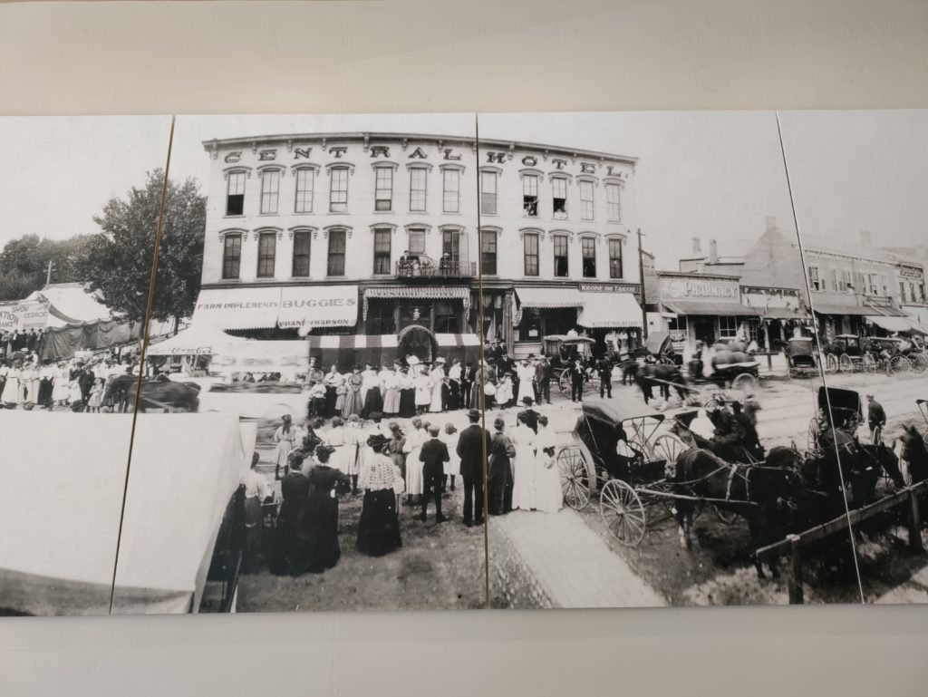
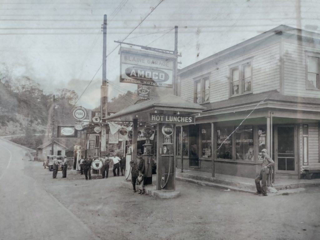
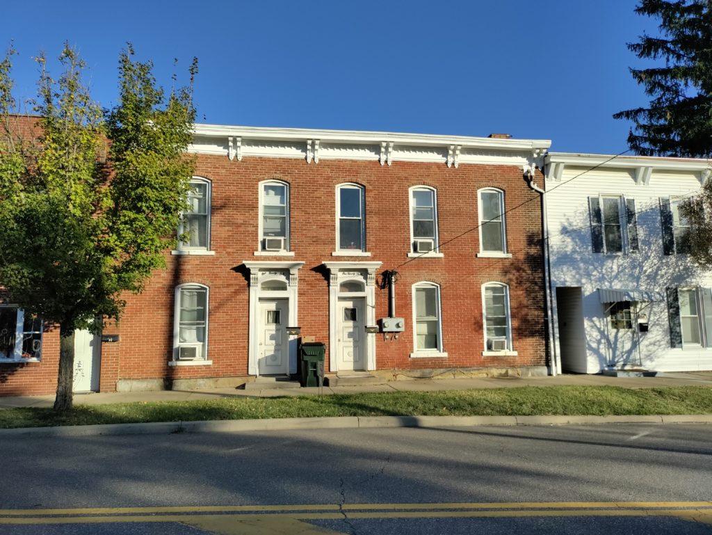
A sampling of Ohio pike town buildings: Above left, a scene from Blaine in the early 20th century. Above right, Saint Clairsville. Below left, the Red Brick Tavern in Lafayette. Below right, the Pennsylvania House Tavern in Springfield

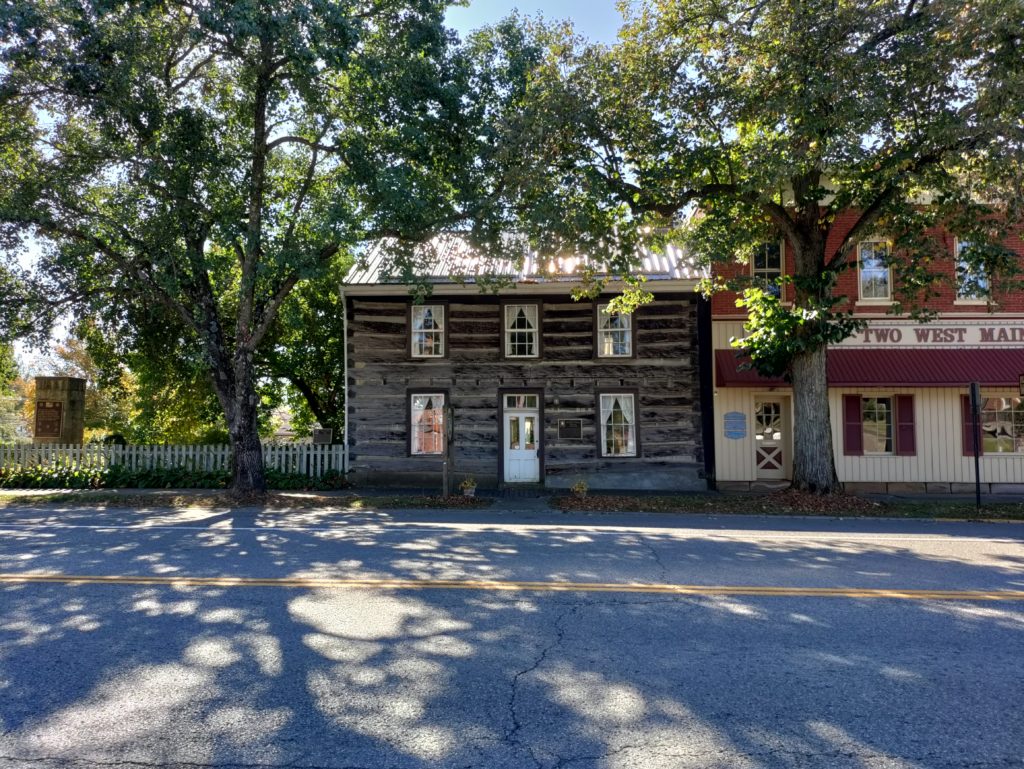
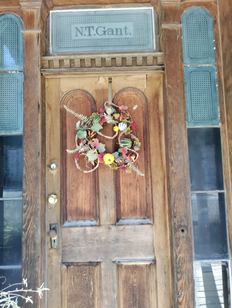
Above left, the William Rainey Harper log house in New Concord. Above right, the lovely doorway of the home of Nelson Gant, one of Zanesville’s early prominent Black citizens.

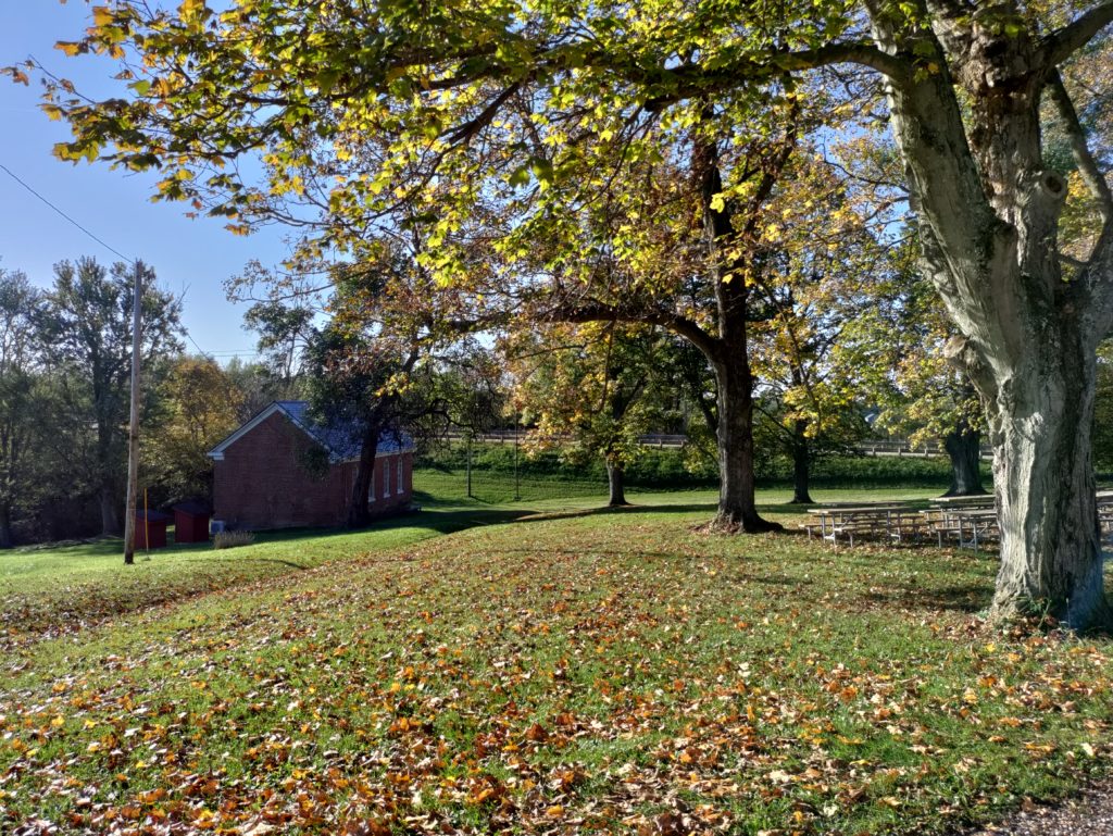
The picture to the right is the 1870 Great Western School House near St. Clairsville. The grounds are so pretty; recess time must have been paradise

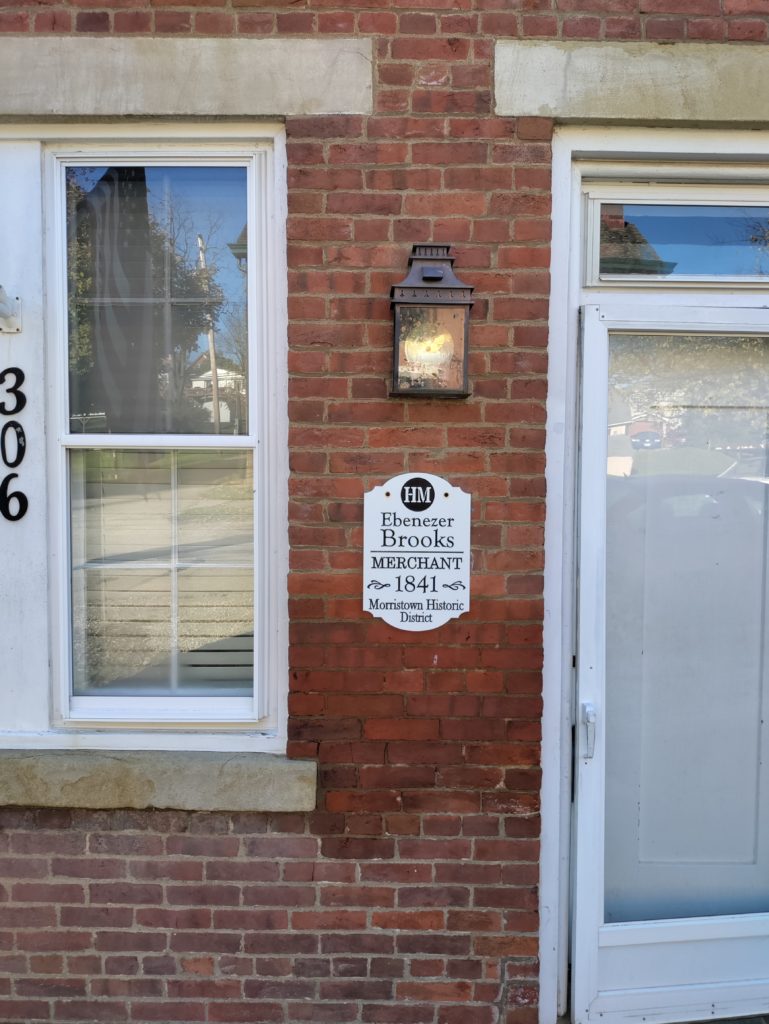
Our favorite Ohio pike town was Morristown, where they are making a real effort to restore their historic main street. They have completed research on the restored houses, and each one is marked by a plaque that tells you the name and occupation of the building’s pike-era resident. Unsurprisingly, many were tavern keepers and merchants. One is listed simply as “widow.” Others had occupations like blacksmith or wheelwright. The restoration process is uneven. Beautifully restored buildings stand right next door to decrepit wrecks. But the effort is very impressive, and I hope it will continue.

The Zane Grey Museum

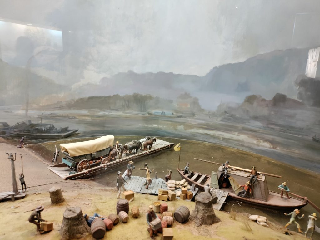
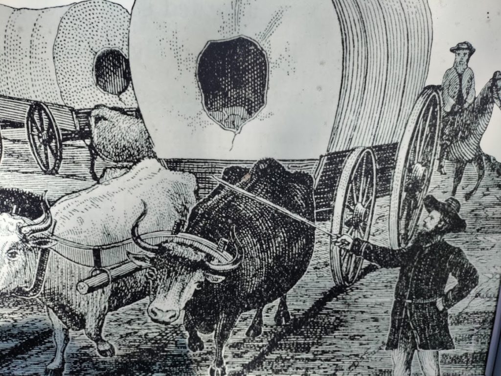
One of the highlights of our drive through Ohio was the National Road-Zane Grey Museum. This small museum is a gold mine of information about the history of the road. Its collection includes a restored Conestoga wagon and impressive dioramas showing scenes from the early life of the National Road in Ohio: a tavern scene, road construction scenes, scenes from the early days of the automobile on the road.

At the museum, we also learned details about how the road was constructed. Using local farmers as laborers, builders made a sixty-foot cut for a thirty-foot wide road. The cut was 12-18” deep. Laborers then broke rock into three sizes. They laid the largest rocks as a road bed, covered by a layer of middle-sized rock, and topped that with gravel no bigger than 3”.

It’s not hard to imagine how rough that kind of road would have been! By the early twentieth century the road was repaved with brick. In 1925, the road was widened, straightened, rerouted in some places, and got its Route 40 designation. Asphalt paving started in 1932.

Our Drive Through Western Ohio

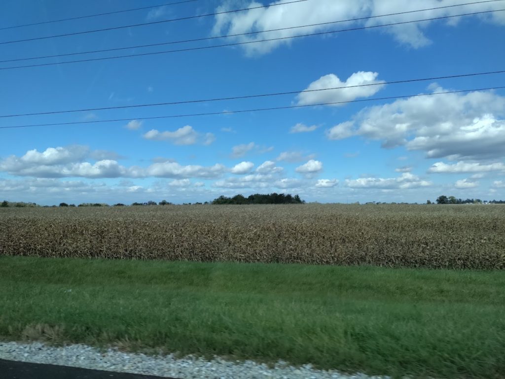
The terrain of Ohio changed gradually as we drove west. Eastern Ohio features wooded hills and valleys. The farming there was limited to subsistence agriculture on small plots on ridges or in valleys. Western Ohio is the place for large-scale farming, thanks to the flatland formed by the Illinoian and Wisconsin glaciations. We drove past miles and miles of cows and corn and enormous grain silos. In the big skies above, geese made their way south and huge flocks of starlings gathered.

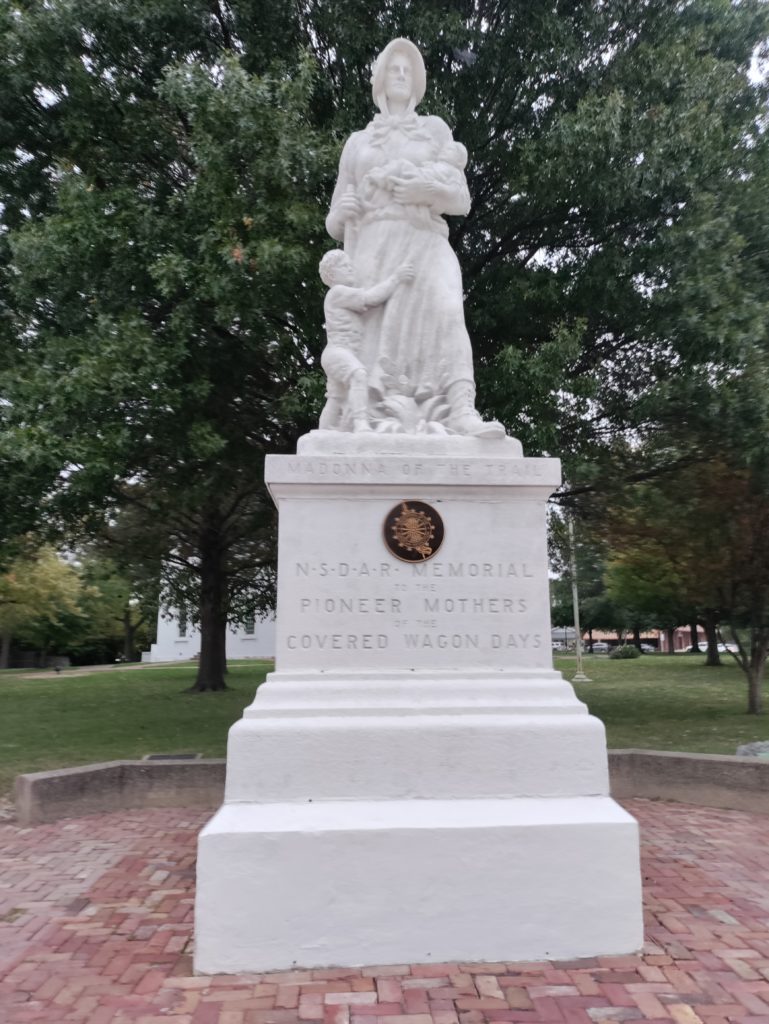
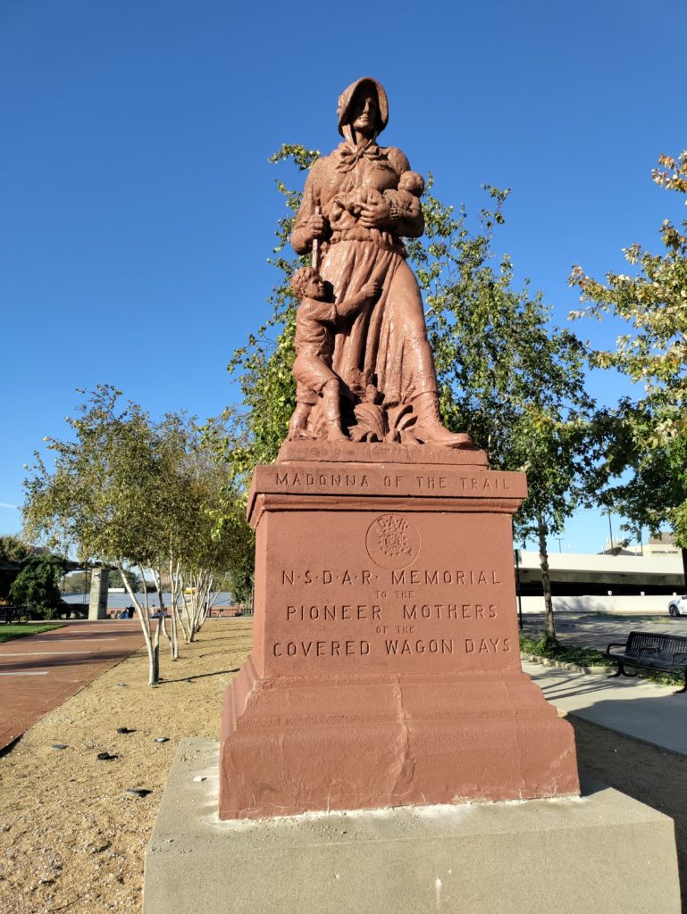
Late in the day, we found Ohio’s Madonna of the Trail. We’ve seen several of the Madonnas now, and they never fail to move me. The raw-boned mother in her plain dress and sturdy boots, one child in her arms, another hanging on her skirts, striding hopefully into an unknown and perilous future. Many years ago, when I was in sixth grade, I read a book called A Lantern in Her Hand, about a pioneer mother, and I loved it so much that I’ve read it many times since. We often say that George Washington was the father of our country, but these unnamed women were truly its mothers.

After the Madonna, and a brief hike, it was on to Indiana, the topic of my next post!

Sources

Schneider, Norris F. The National Road Main Street of America. Columbus, Ohio: The Ohio Historical Society, 1975.

Harper, Glenn and Smith, Doug. The Historic National Road in Ohio. Columbus, Ohio: The Ohio Historical Society, 2010.

Our Nation’s First Infrastructure Project

We’ve finally completed the task we set for ourselves back in January. Al and I have now driven the whole National Road – our nation’s first infrastructure project – from Maryland to Illinois. We did it in bits over the course of the last eleven months, so that we could stop and absorb the history and culture, rather than driving right by it.
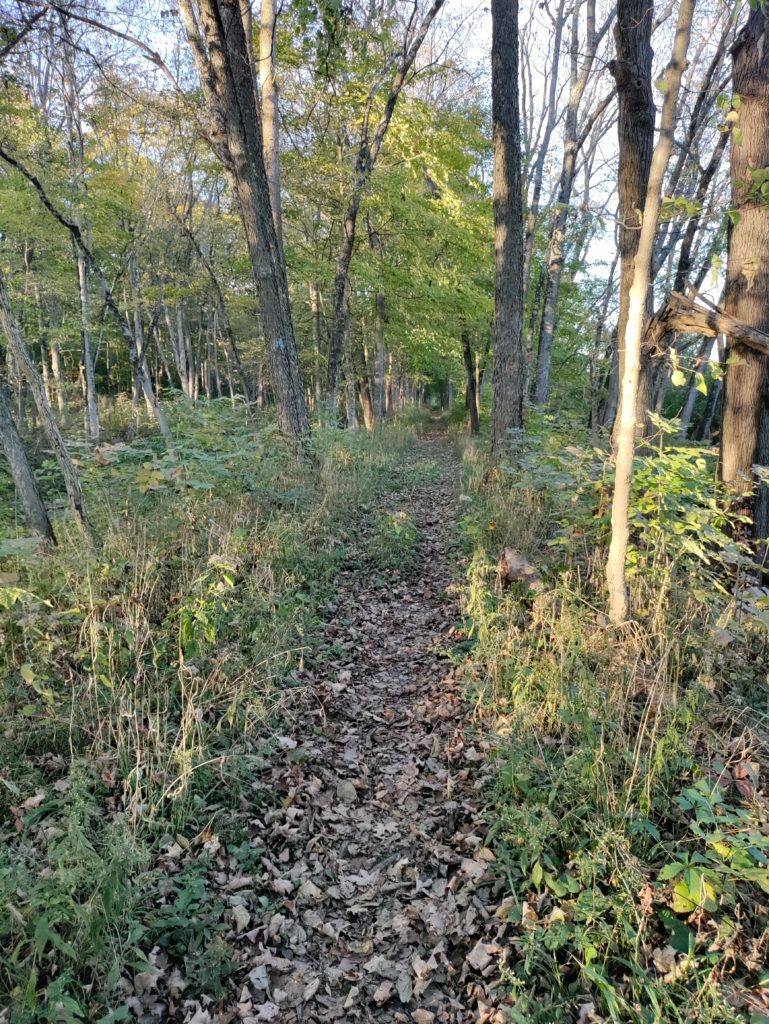
Our most recent drive took us from the West Virginia/Ohio border, through Ohio and Indiana, to Vandalia, the old Illinois state capital. Along the way, we sampled craft whiskey and Indiana’s state pie, got lost hunting for an original Macadam section of the road, visited a little-known Confederate cemetery in Ohio, and drove past miles and miles and miles of corn.

Ohio and Indiana treasure their old “pike towns.” Each state highlighted a particular aspect of life along the National Road, which I will feature in my next two blog posts. Illinois’ approach, sadly, seems to be to pretty much ignore the old road – other than its terminus in Vandalia.

Driving the length of the road was fun and enlightening. It gave us a deep respect for our nation’s first infrastructure project. And, similar to 21st-century infrastructure projects, we learned that the origin of the road was controversial and steeped in politics.

George Washington again

It seems that almost everything that happened in late-18th-century America starts with George Washington. And that is certainly true of the National Road. Washington was with the Braddock and Forbes expeditions when they hacked through densely forested mountains to create the first sections of what would later become the National Road.

Years later, as President, he was shaken by the Whiskey Rebellion. Washington worried that, as settlers progressed west, they would lose ties and loyalty to the new federal government.

He was especially concerned about Great Britain and Spain wooing the settlers’ allegiance. The solution, he suggested, was to build a road, to “open a wide door, and make a smooth way for the produce of that Country to pass to our Markets before the trade may get into another channel.”

At the same time, veterans of the Revolutionary War, who had been paid partially in land warrants, were clamoring for the government to open Ohio to settlement. And settlers already living in western Pennsylvania demanded a road to help them get their produce to market. The Whiskey Rebellion had been about precisely that issue. Whiskey was easier and more profitable than wheat to transport on abominable 18th-century paths through woods and over mountains.

Washington also had a personal financial interest in tying the west closely to the government in the east. He had invested heavily in land in western Pennsylvania and eastern Ohio. Plus ca change, plus c’est la meme chose in politics.

But Washington didn’t get his way immediately. There was, of course, controversy. This was America, after all.

Joe Biden: not the first guy to have trouble passing an infrastructure bill

The controversy outlasted both Washington’s and John Adams’ administrations, and continued into the Jefferson administration. Some members of Congress didn’t think the federal government had the constitutional authority to finance internal improvements.

This disagreement was one of the earliest examples of the big-government/small-government tension that still often paralyzes our government today. And, in an early example of practical and creative compromise, Albert Gallatin came up with a solution to the impasse.

Gallatin proposed that the new states and the federal government come to an agreement. The states would exempt from taxation for ten years the lands sold by Congress. In return, the proceeds from the land sales would be used to construct a road. In effect, the states, not the federal government, were financing the National Road.  The Senate passed the National Road bill on December 27, 1805.

But there was still more political controversy in the House of Representatives. Southern representatives opposed the bill because no part of the road passed through their states. Although the new road would pass through southwestern Pennsylvania, many Pennsylvania representatives were miffed that Philadelphia was left out. Despite these objections, the bill passed the House 66-50 on March 24, 1806.

Construction began in 1811. And – again, like so many modern projects – the cost of the road initially exceeded the original estimate of $6000 per mile. As the National Road was laboriously carved out of the hills and valleys of Appalachia, the cost soared to as high as $13,000 per mile. When the builders reached the plains of Ohio the cost per mile plummeted to $3400 per mile.

Finally! The road reaches Ohio!

But, before that could happen, more controversy had to be resolved.  By 1818, the road was complete to the Ohio river, the border between the current states of West Virginia and Ohio. But the question of federal authority over improvements arose again. President Madison vetoed Congress’ bill authorizing the Ohio section of the road, believing it to be unconstitutional.

Finally in 1824, President Monroe, convinced that internal improvements could be justified under the “general welfare” clause of the Constitution, signed a bill.

Congress made its last appropriation for the National Road in 1838. The total amount spent was just under seven million dollars. Such a small investment knit together a nation, bringing prosperity to millions of farmers, merchants and manufacturers along its route.

Those farmers, merchants and manufacturers will be the focus of my next two posts, about what we found and learned in Ohio and Indiana. Stay tuned!

In case you missed them, here are links to my previous posts about our drives along the National Road:

West Virginia

Far western Pennsylvania

Beallsville to Scenery Hill

Brownsville, PA

Fort Necessity & Braddock’s Road

Uniontown, PA

Searights Toll House

Addison & Somerfield

Sources

Schneider, Norris F, The National Road Main Street of America. (Columbus, OH: The Ohio Historical Society, 1975.

Newcott, William R., “America’s First Highway.” National Geographic, March 1998, pp. 83-99.

http://www.nationalroad.org/

How Grant Street Got Its Name

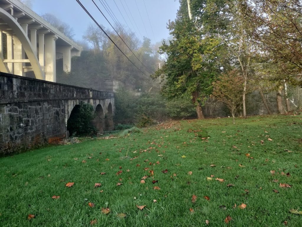
Pittsburgh’s Grant Street is home to the corporate headquarters of Oxford Development, Koppers Holdings and U.S. Steel, and the seat of government for the City of Pittsburgh and the County of Allegheny. Ironically, it gets its name from the man who met his greatest defeat there.

The Forbes Expedition Begins

The disastrous 1755 Braddock expedition failed to win Fort Duquesne from the French. Undaunted, William Pitt assigned newly-appointed Brigadier General John Forbes the task of conquering Fort Duquesne in 1757.

Forbes commanded an army consisting of two thousand British regulars, twenty-five hundred Pennsylvanians, fifteen hundred Virginians, and a small number of soldiers from other colonies.

The army could have marched to Fort Duquesne on the old Braddock Road, but Forbes determined that it was too narrow and circuitous. Over the objections of George Washington, Forbes decided to build a new road through the Pennsylvania woods. They started the road at Carlisle, PA, in March 1858 and, by September, had only made it as far as Bedford. The builders predicted that they could not finish the road before winter set in.

Meanwhile, Forbes’s subordinate, Colonel Henry Bouquet was busy at Loyalhanna constructing Fort Ligonier, about forty-five miles to the west of Forbes’ headquarters at Fort Bedford. Fort Ligonier was to be the jumping-off point for the attack on Fort Duquesne.

Enter Major Grant

Constant Indian raids shook morale at the under-construction fort, and drained it of needed supplies. Bouquet proposed to send out two parties of a hundred men each to guard the paths to the fort. Enter Major James Grant, who thought he had a better idea.

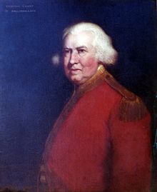
Grant was thirty-seven years old at the time, Laird of Ballindalloch, and a major in the 77th Regiment of the Foot (also known as Montgomery’s Highlanders). Both Forbes and Bouquet thought highly of him. In a letter to General Forbes dated June 16, 1758, Bouquet wrote, “If you need an officer suitable for all purposes, allow me to recommend Major Grant.” And in an August 28 letter General Forbes described him in a letter of August 28 as “inferior to few.”

Grant made the point that it was foolish to send two hundred men out as sitting ducks to guard the paths into Fort Ligonier, when the real problem lay forty miles to the east, at Fort Duquesne. He suggested a reconnoitering expedition to Duquesne, with himself in the lead. Bouquet’s confidence in Grant led him to approve the idea.

Grant set out on September 9, 1858, with about 800 men: 300 Highlanders, 150 Virginia militia, 100 Royal Americans, 100 Pennsylvania militia, 100 Maryland militia and a few Indian allies.

What was the plan?

In 1758, the hill where Grant Street lies was much higher than it is today. The plan was to march to within about five miles of the fort after dark and launch a reconnoitering party at night. If the party went undiscovered, colonial Major Andrew Lewis would stay back with half of the army and the other half would advance to present-day Grant Street, about half a mile from Fort Duquesne. From there, they would surveille the fort, attack the Indians that they assumed would be camped right outside, and then retreat.

None of that went as planned.

What actually happened on Grant Street?

First, they found no Indians camped around the fort. So, Grant assumed that the Indians were in the blockhouses nearer the fort. Grant sent a force of 400 men to attack the blockhouses, only to find them empty. The force retreated back to the hill, so far undetected.

Perhaps loath to return to Ligonier without a victory, Grant assumed that the decrepit French fort must be poorly defended. He estimated that fewer than 600 troops manned it. At dawn, he had his drummers beat reveille and sent 100 Highlanders to attack the fort. About halfway down the hill, the Highlanders met 800 French and Indian fighters, who had been alerted by the reveille drums.

Grant sent more troops down the hill to the rescue of the Highlanders, but they, too, were surrounded by the enemy. Finally realizing his peril, Grant sent runners to Major Lewis’ force five miles to the rear, urgently requesting reinforcement. Meanwhile, he threw himself and the rest of his troops into the fray.

Major Lewis and his troops arrived too late, and the fighting was hard. British and American soldiers not cut down by weapons fell into the Ohio River, where many of them drowned. Grant himself refused to surrender or retreat, declaring that his heart was broken and he would “never survive the loss of this day.” Of the 800 troops who set out on September 9, over 300 were killed or captured. The rest escaped, in a disorderly retreat, to report the catastrophe.

What happened to Grant after the battle?

For several days, Grant’s fate was unknown. Finally, on September 22, he appeared on a list of the captured and wounded. Forbes, dismayed at Grant’s recklessness and the loss of so many soldiers, lamented that “my friend Grant had most certainly lost the ‘tra montane’ and by his thirst of fame brought on his own Perdition.” (‘Tra montane’ was a French term used to describe the country just beyond the Appalachian Mountains).

The French treated Grant well during his captivity, and paroled him shortly after the battle. The Highlanders who went into battle with him were not as lucky. When the British finally took over Fort Duquesne in November – without having fired a shot – they found the rotting heads of the Highlanders mounted on spikes, their kilts flapping beneath them in the autumn breeze.

Grant blamed Major Lewis for his defeat at the forks of the Ohio, and hated American colonials forever after. After his parole, he moved to the Caribbean theater of the Seven Years War and fought in the siege of Havana. He served a stint as governor of East Florida, after the British won that territory from the Spanish in the Treaty of Paris. Back on active duty for the American Revolution, he fought in Boston, Philadelphia, Long Island and the West Indies, and was known for his contempt for and mistreatment of his American adversaries.

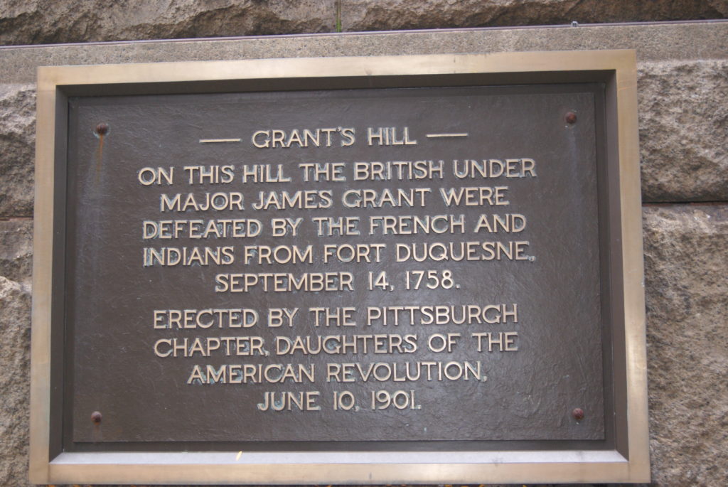
The marker for the September 1758 skirmish is on the corner of the City-County Building in downtown Pittsburgh, at 414 Grant Street, on the southeast corner of the intersection of Grant Street and Fifth Avenue.

Sources

Lorant, Stephan. Pittsburgh, the Story of an American City. Lenox, Massachusetts: Authors Edition Inc., 1988.

Anderson, Fred. The Crucible of War. New York: Alfred A. Knopf, 2000.

The Papers of Henry Bouquet, Ed. S. K. Stevens, Donald H. Kent, and Autumn L. Leonard. Harrisburg, PA: The Pennsylvania Historical and Museum Commission, 1951.

https://en.wikipedia.org/wiki/James_Grant_(British_Army_officer,_born_1720)

https://en.wikipedia.org/wiki/Forbes_Expedition

https://www.clan-forbes.org/people/Brig.-General-John-Forbes

Arthur Saint Clair

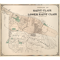
Continuing my series of posts inspired by our trip to Fort Ligonier this summer, I want to introduce my readers to Arthur Saint Clair. His name will sound familiar to those of us who live in the South Hills of Pittsburgh. He lent it to a vast township that once encompassed most of the southern suburbs and many City of Pittsburgh communities south of the Monongahela.

If you live in Baldwin Township, Knoxville, Mount Oliver, Mount Lebanon, or Upper Saint Clair, just to name a few, your community was once part of St. Clair Township. St. Clair Hospital in Mount Lebanon is named for Arthur Saint Clair, as are more than a dozen communities in Pennsylvanian and Ohio.

Once the largest landowner in western Pennsylvania, St. Clair died in poverty.

Student, Soldier, Landowner

He was born on March 23, 1736 in Thurso, Scotland. After attending the University of Edinburgh, St. Clair purchased a commission in the British army in 1757. He served in the French and Indian War, then resigned his commission in 1762. With assistance from his father-in-law, St. Clair purchased 4000 acres of western Pennsylvania land, making him the largest landholder west of the Appalachians. He settled in the Ligonier Valley with his wife, who eventually bore him seven children.

St. Clair joined the Continental Army in January of 1776 and was the Forrest Gump of the American Revolution, seeming to appear at nearly every important event. He was with Washington in the crossing of the Delaware and the Battle of Trenton. He commanded Fort Ticonderoga, was court-martialed for surrendering to the British siege, and found innocent. Back in Washington’s good graces, he was at Yorktown for Cornwallis’ surrender in 1780.

Governor of the Northwest Territory

As part of the Confederation Congress after the war, St. Clair helped to pass the Northwest Ordinance. Shortly after the passage of the bill, which created the Northwest Territory out of present-day Ohio, Indiana, Illinois, Michigan and parts of Minnesota and Wisconsin, Congress appointed him governor of the Territory.

As I live on land originally named for him, I’d like to say that he performed well. But, by our modern standards, St. Clair’s record in the Territory is troubling.

In the Treaty of Paris, which ended the American Revolution, Great Britain ceded to U.S. sovereignty all the land east of the Mississippi River and south of the Great Lakes. Slight problem: nobody had consulted the people who were currently living there. The weak American government sought to raise funds by selling plots of land in the Territory to white farmers. As St. Clair attempted to clear the Indians out of the Territory so the sale could proceed, they naturally resisted.

War With the Natives

In October 1790, St. Clair sent an army of 1500 men under General Josiah Harmar to destroy a major resistance village at the site of present-day Fort Wayne, Indiana. When that force was defeated, St. Clair decided to take matters into his own hands.

In September 1791, St. Clair led an expedition from Cincinnati towards Indiana. In the November 4 battle along the Wabash River, we can at least credit him with courage. Leading his troops himself, St. Clair had two horses shot out from under him and several bullets passed through his clothing. But, many of his militia had already deserted, and his army suffered a humiliating defeat. Of the 1400 men St. Clair had taken into battle, 623 were killed and 258 were wounded.

Not until 1794 would “Mad” Anthony Wayne win Ohio from its native inhabitants.

Washington ordered St. Clair to resign his commission in the Army, but he remained governor of the Northwest Territory until 1802. St. Clair worked to have the Ohio territory admitted to the Union as two states rather than one. He hoped this arrangement would preserve Federalist control of both states. New Democratic-Republican President Thomas Jefferson had other ideas, and relieved St. Clair of his position.

Death of Arthur Saint Clair

Upon his retirement from government, St. Clair returned to western Pennsylvania. Congress never reimbursed him for his expenses from his time as Northwest Territory governor. St. Clair lent generously to family and friends, and made some loans that were also never repaid. By the early nineteenth century, he had lost his fortune and most of his vast land holdings. He died in a small log cabin near Greensburg on August 31, 1818, at age 81. He is buried under a Masonic monument in downtown Greensburg.

The parlor of St.Clair’s home in Ligonier is beautifully recreated at the Fort Ligonier Museum.

https://en.wikipedia.org/wiki/Arthur_St._Clair

https://historicpittsburgh.org/islandora/search/catch_all_fields_mt%3A%28lower%20saint%20clair%29

https://ohiohistorycentral.org/w/Arthur_St._Clair

https://www.pittsburghbeautiful.com/2018/02/20/pittsburgh-suburbs-history-of-upper-st-clair/

My Interview With Susan Ouellette

Susan Ouellette is the author of the thriller The Wayward Spy. I don’t usually read thrillers, but this one really kept me turning pages, and I can hardly wait for the second in her three-book series, The Wayward Assassin (coming from CamCat Books in March 2022). Here’s my interview with Susan.

How does she know so much about the CIA?

Kathy: Back in the 1990s, you worked as an intelligence analyst for the CIA. Can you tell us a little about what that was like? Was it as glamorous as it sounds?

Susan: I remember my first day of work at the CIA like it was yesterday. The first time my supervisor handed me documents stamped TOP SECRET, I had to suppress a gasp. So exciting! Some of the glamor wore off as I grew accustomed to reading intelligence reports, but every day held the possibility of learning something new and interesting. And I was there at a great time – as the Soviet Union was collapsing. It was like having a front row seat to history.

Kathy: Any interesting stories you can share from your time with the CIA?

Susan: When the coup against Mikhail Gorbachev happened in 1991, I worked on a 24/7 task force set up to monitor and analyze this very volatile situation. So there I was, a rookie analyst, working the overnight shift when the phone rang at 5 am. No one else was around, so I answered. It was the CIA Director calling to get an update on overnight developments. I just about fainted, but apparently did a good job briefing him because I didn’t get fired.

I also wrote a piece for the President’s Daily Brief about a situation involving a potential outbreak of hostilities in the former Soviet Union. My analysis went to the President and turned out to be spot on. That was thrilling. My third story is quite sad. I was out of the office the day Harrison Ford visited CIA headquarters. I missed Harrison Ford? I’m still not over it! 

Kathy: I love Harrison Ford, too. The kids and I tease my husband that he looks like Indiana Jones when he wears his leather jacket and fedora.

What made you choose the former Soviet state of Georgia as part of the setting for The Wayward Spy? Have you ever been there?

Susan: During my time at the CIA, Georgia was one of the Soviet republics (turned independent country) that I followed closely. Sandwiched between two worlds – the Russian behemoth to the north and Turkey and other Islamic countries to the south and east – Georgia is a country with a complex, rich history and culture. I have not been there, but it is on my bucket list.

Kathy: The Wayward Spy takes place in 2003. In your opinion, has the threat of a terrorist attack in the United State decreased, increased or stayed about the same since then? How would you say the threat has changed?

Susan: Up until the recent events in Afghanistan, I would have said that the threat of an organized terrorist attack (i.e., a non-lone wolf attack) on U.S. soil had diminished significantly. Now, with U.S. and allied military and intelligence assets out of Afghanistan, al-Qaeda and ISIS will have the latitude and luxury to train, organize, and grow (despite whatever rivalries and hatred exist among and between them and the Taliban). I’m afraid the threat of a major terrorist attack has increased significantly in recent months.

Kathy: Not exactly what I was hoping to hear


And what does Susan read?

Kathy: What kind of books do you like to read?

Susan: I love spy thrillers, which I suppose is no surprise. I love time travel/parallel universe stories because I find it endlessly fascinating to think about how every decision we make has the potential to alter the trajectory of our lives. I also enjoy World War II fiction, particularly stories with characters living under Nazi occupation. As for non-fiction, I love Cold War spy books. The Spy and the Traitor (Ben Macintyre) is a must-read for any student of 20th century history.

Kathy: Do you have a favorite author? What do you like about that author?

Susan: This is such a difficult question. I enjoy so many thriller authors. Robert Littell, Nelson DeMille, Daniel Silva. And more. Their stories grab the reader and don’t let go. The best book I’ve read lately is A Gentleman in Moscow (Amor Towles). It’s a beautifully written story about a Russian aristocrat whose life is smothered by the growing oppression of the Soviet state.

Kathy: I loved A Gentleman in Moscow, too.

What were your favorite books as a child? How did they influence you?

Susan: Nancy Drew! I loved how Nancy used her wits to solve every mystery thrown her way. She made me want to be a detective. That was my childhood plan – become Nancy Drew. Then I learned about the CIA and the KGB and decided that being a detective would pale in comparison to being a spy.

Her writing process

Kathy: I noticed in your dedication to The Wayward Spy that you had set the book aside for a while. Why did you do that? And what inspired you to dust it off and get back to work on it?

Susan: The Wayward Spy had several close brushes with publication many years back. When those didn’t pan out, I gave up on trying to get published for a long time. I had a young family and a job, so I focused my attention on them. But I never lost the desire to get the manuscript published. Fast forward many years, and I found myself at a writing workshop where several people took interest in the story. After much gentle persuasion, I decided it was worth one final try at publication.

Kathy: Once you got back to work on The Wayward Spy, did you work with a development editor? If yes, how did that help you?

Susan: Yes. At the aforementioned writing workshop, I met Elaine Ash, an author and freelance editor. She convinced me to send her the manuscript and we began to work together to rewrite the novel. She helped me untangle the essential threads of the story, which I had greatly overcomplicated. The plot was in there, but we had to detangle it and let it shine.

Kathy: Can you describe your writing process? Do you outline? Do you always know how the book is going to end?

Susan: I did not write from an outline for either The Wayward Spy or The Wayward Assassin (coming March 2022). With both stories, I knew the beginning and the end but not much in between. I am about to begin writing the third story in “The Wayward” series, and this time around, I plan to plot the story before I begin writing. My goal is to simplify the developmental editing process that comes after the draft manuscript is done. I have learned a lot from revising the first two books. It’s time I apply that knowledge to the first draft of my next book.

Kathy: How long does a first draft take you to write? How many edits do you usually do before you feel your book is ready to be submitted?

Susan: It took me about a year to write a first draft for both books. I wrote both while working and raising little ones so I only wrote about ten hours a week. I’m hoping to write a first draft of the next book in about six months. (I may fail miserably.) I plan to do a couple of edits before submitting the third story to my editor.

Kathy: It took me longer to find a publisher for The Saint’s Mistress than it did to write the book. How long did it take you to find a publisher for The Wayward Spy?

Susan: After working with the freelance developmental editor, it took about a year for me to sign with CamCat Books.

Kathy: What have you done to market The Wayward Spy? Have you found any marketing strategies to be particularly effective?

Susan: As a new author, I’ve discovered that there’s a steep learning curve when it comes to effective marketing. I’m definitely still learning and experimenting with different marketing avenues. I have blogged on my own website (susanouellette.com), done blog interviews with other authors, run a Facebook ad campaign, run several book give-away contests, and done several interviews with local media.

Kathy: Did you learn anything about yourself from writing your books?

Susan: This may sound trite, but I’ve learned not to quit. Although I put writing on hold for years, deep down, I never really gave up on getting published.

Oh, and what about those chickens?

Kathy: I see from your personal Facebook page that you raise chickens. How did you start that? What is the best part of raising chickens? What is the worst?

Susan: One of my favorite subjects! Five years ago, we moved from a home on a quarter acre lot to a small farm. We knew nothing about farming, so we decided to start with chickens (thank goodness for the internet!). The best part of raising chickens, aside from the fresh eggs, is watching them interact with each other. They have distinct personalities, moods, and quirks. I find them quite hilarious – the more dramatic they are, the better. The worst thing about chickens is their bathroom habits. Not the most sanitary beasts.

Kathy: Tell me something about yourself that might surprise readers.

Susan: I almost caused a full-blown national security incident on Capitol Hill. Accidentally, of course. I can’t provide details because I plan to weave this story into one of my future novels.

Kathy: The Wayward Spy ends on a real cliffhanger. Can you give us a few teasers about what happens in the second novel in the trilogy, The Wayward Assassin?

Susan: The Wayward Assassin begins about ten months after Maggie leaves us all hanging at the end of The Wayward Spy. In the sequel, Maggie is engaged in a furious pursuit of
.someone
in order to prevent
something. I dare not say more. There are several characters who appear in both stories and some fresh faces to keep things interesting. It’s very fast paced. With any luck, this story will keep reader up reading late into the night!

Where to learn more about Susan Ouellette

Kathy: Where can we find out more about you and your writing?

Susan: Please check out my website at www.susanouellette.com. I also can be found on these sites:

fb.me/SusanOuelletteAuthor

https://twitter.com/smobooks

https://www.instagram.com/susanobooks/

https://www.goodreads.com/goodreadscomsusan_ouellette

Sto-Rox Library Indie Book Author Expo

I love meeting and talking to readers, especially those who have read The Saint’s Mistress. But, almost as much, I love meeting and talking to other authors. Saturday’s Sto-Rox Library Indie Book Author Expo gave me the opportunity to do both.

My family has deep roots in McKees Rocks and I lived there for the first three years of my life, so I have a sentimental attachment to the community. The Rocks has suffered hard times for the last few decades, and you’d think that the library would reflect that. You would be wrong.

The Sto-Rox Library is a vibrant community center. The library itself is fairly small, but it’s bright and attractive and the collection reflects the community’s diversity. There’s a cafĂ© in the back, a cozy children’s room, and a modern theater. Maker spaces populate the basement. The library has received grants that allow them to provide short-term scholarships for makers, paying a stipend and providing materials.

The library is sponsored by Focus on Renewal, a local social service organization founded in 1969. FOR also sponsors a food bank, a community resource center and parenting programs.

Literacy Nation and UrbanKind partnered with the library to provide a full-day forum for indie authors (self-published or published by small presses) to share our work. The creativity and passion of the other authors I met was so inspiring that I want to share some of them with you.

Meet Some of the Authors

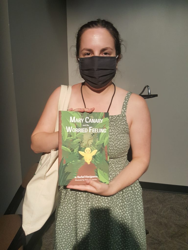
Rachel Vinciguerra has written two children’s books. Her most recent is Mary Canary and the Worried Feeling. It makes a story out of the old custom of keeping a canary in a coal mine as an early warning of bad air. In Rachel’s story, Mary is a sensitive, anxious canary in a forest. Mary smells smoke and feels warm, warning signs of a fire. Her sensitivity saves the other animals in the forest. Rachel was a sensitive child herself, and wrote the book to help children like her understand that sensitivity can be a super-power. I wish I’d had this book when I was raising an anxious, sensitive daughter of my own.

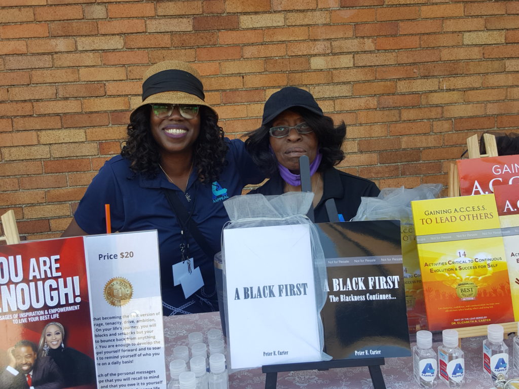
Stacy Wilson has written several books of poetry to encourage Black men and women to value themselves. The proceeds of Stacy’s book sales go to two charities that she and her husband created to mentor and empower Black men and women.

Dr. Elizabeth Carter is a leadership coach and author. Her immigrant father had a remarkable career as an educator, consistently breaking barriers, and Dr. Carter persuaded him to write first his life story and then a follow-up autobiography of his volunteer activism after retirement.

Meet Some More Authors

E Davis (pictured with me at the top of this post) is the author of eight works of fiction. Her frustration when seeking a publisher for her first book led her to create her own publishing company, Writers Block Publishing.

Phyllis Leyden-Alexander has written Different But the Same: Adventures in Noahland, about her grandson, Noah. Noah was born prematurely and has multiple disabilities. Now twelve, Noah is determined to live a full life, and his mom is equally determined to make that happen for him. Phyllis’s book recounts some of Noah’s amazing adventures, including participation in a 100-mile bike race, via a cart attached to a bike.

But the absolute standout of the day was seven-year-old author Ka’Maya Shanelle. Ka’Maya’s mom, Shana, is a motivational speaker and author, and has encouraged Ka’Maya to practice affirmations daily almost since she could speak. When Ka’Maya said she wanted to be an author like mom, Shana took her seriously. The result was Ka’Maya’s coloring book I Love Myself: A Coloring and Activity Book with Self-Love Affirmations. You’ve got to meet Ka’Maya to believe her. She is the most self-possessed seven-year-old I have ever met. Mom Shana Danielle is the author of the poetry collection Rise and a wonderful guided journal entitled Rising to Purpose.

The Great Commoner: William Pitt

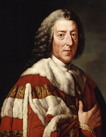
He was called The Great Commoner but ended life a Lord. HIs government positions ranged from a cornet in the Army to Lord Privy Seal to Prime Minister to Groom of the Bedchamber (not as sexy as it sounds). He suffered from severe gout starting at a very early age. And the greatest city in the world  — OK, in the United States; oh, all right, the greatest city in Appalachia – bears his name. I’m talking about William Pitt the Elder, First Earl of Chatham.

The Pitt family

The origin of the Pitt family fortune comes from a gigantic diamond discovered by Pitt’s grandfather Thomas Pitt while he was governor of Madras in India. Thomas Pitt sold the diamond to the Duke of Orleans for the equivalent in 2021 USD of more than twelve million dollars. More than enough to put his son Robert in Parliament as a Tory MP from 1705 until 1727.

William Pitt was Robert’s second son. That meant that his older brother, another Thomas, inherited the Pitt estate. William had to do what most younger sons did in eighteenth-century Great Britain: serve in the church or the army. Pitt chose the army, obtaining a cornet’s commission in the King’s Own Regiment of the Horse. But he never saw battle or left Great Britain. Bored, he ran for Parliament and was seated in 1735, though still an army officer.

The Great Commoner as a young Patriot

Although his father had been a Tory, Pitt joined a Whig faction called the Patriots. They were critical of Prime Minister Walpole’s government. In particular, they were eager for glory and thought Great Britain should enter the War of Polish Succession. Ever hear of that war? Me neither, until exactly today. That should tell you how little it was worth the loss of British lives and treasure.

In my opinion, Walpole had the better position when he said “There are fifty thousand men slain in Europe this year, and not one Englishman.” By staying out of war, Walpole also managed to reduce both taxes and the national debt.

The Patriots did badger the government into a mini-war with Spain in the late 1730s. They were incensed that, when the Spanish caught British smugglers, they treated them badly. That war did not go well for Great Britain and was more or less abandoned. So, our friend Pitt was wrong about a lot of things early in life, as so many of us are.

Pitt’s political rise

Through his friend the Prince of Wales (the future George III), Pitt gained the positions of Vice Treasurer of Ireland and Paymaster General in 1846. Here, he performed exceptionally well. It was common for men in the paymaster role to skim off a commission for themselves in addition to their salary. Pitt refused to do that. His honesty earned him the love and respect of the common people of Britain, and his nickname The Great Commoner.

Pitt had his political ups and downs for the next decade or so. But, by 1757, he was Secretary of State and Leader of the House of Commons. He again proved his worth by revamping the British strategy in the Seven Years War. Under Pitt’s guidance, Great Britain allied itself with Frederick II of Prussia. Frederick’s little Prussian force managed to keep French forces pinned down in Europe. That gave Great Britain the freedom to successfully attack the French elsewhere in the world: West Africa, the Caribbean, North America. The British gained Pittsburgh, Guadeloupe and Quebec in 1758 and 1759. With their victory in Montreal in 1761, the war was essentially over. Pitt claimed to have “won Canada on the banks of the Rhine.”

Pitt and the Americans

But success came at a price. The war was costly for Great Britain. As every American school child knows, the British attempted to tax first stamps and then tea, to pay for their expensive North American victory. The American colonists, of course, objected violently. Pitt was an ally to the colonists, arguing in Parliament against the stamp and tea taxes. Later, as the War for Independence loomed, he tried unsuccessfully to convince Parliament to make concessions to the rebellious Americans and correctly warned that the colonies could not be held by force.

Pitt and Pittsburgh

William Pitt the Elder died at age 69 on May 11, 1778. His legacies were his status as one of Great Britain’s most highly-regarded statesmen; his son, William Pitt the Younger, who became Britain’s youngest Prime Minister in 1783 at age 24; and, of course, the city that bears his name.

Following his victory at the Forks of the Ohio River in November of 1758, General John Forbes wrote in a letter to Pitt dated November 27, 1758, “Sir, I do the honour of acquainting you that it has pleased God to crown His Majesty’s Arms with Success over all His Enemies upon the Ohio
I have used the freedom of giving your name to Fort Du Quesne as I hope it was in some measure the being actuated by your spirits that now makes us Masters of the place.”

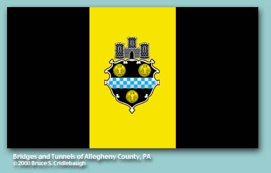
When the city of Pittsburgh was officially chartered in 1816, it adopted a seal based on the Pitt coat of arms. The original seal was lost in the 1845 fire and had to be recreated from memory. The three gold coins, called bezants, are loosely based on Byzantine coins, and symbolize honesty. The blue and white checks are the Pitt family livery colors. The Castle simply symbolizes a city. Pitt’s city.

Sources

Lorant, Stefan. Pittsburgh: The Story of an American City. Lenox, MA: Authors Edition, Inc., 1988.

https://en.wikipedia.org/wiki/William_Pitt,_1st_Earl_of_Chatham

https://www.u-s-history.com/pages/h1182.html

https://phlf.org/dragons/teachers/docs/William_pitt_city_seal_project.pdf

Fort Ligonier

George Washington started it.

Beginning with Washington’s disastrous, accidental skirmish at Jumonville Glen, about fifty miles from Pittsburgh, the Seven Years War turned into a world-wide battle that built and broke empires. By the end of the war, Prussia had barely survived and Great Britain dominated India, North America and the West African slave trade. France was on the road to revolution and Spain on its way to irrelevance.

Last week, Al and I visited an important Seven Years War site: Fort Ligonier, in Ligonier, PA.

The war didn’t begin well for the British in North America. The 1755 Braddock expedition towards present-day Pittsburgh ended in the death of General Braddock and a disorderly retreat (read my short story about the Braddock expedition HERE). But, by 1758, the British prepared to once again try to gain possession of the headwaters of the Ohio River. They learned from the catastrophic Braddock expedition that they would need a supply depot and a point of refuge in case their new effort also ended badly. In short, they needed a fort.

Construction of Fort Ligonier

The only British forts between Carlisle and present-day Pittsburgh were Forts Loudoun, Lyttleton and Bedford, all too small and too far from the forks of the Ohio to suit British purposes. The British placed General John Forbes, a Scotsman, in charge of this latest attempt to dominate the interior of the great North American continent.

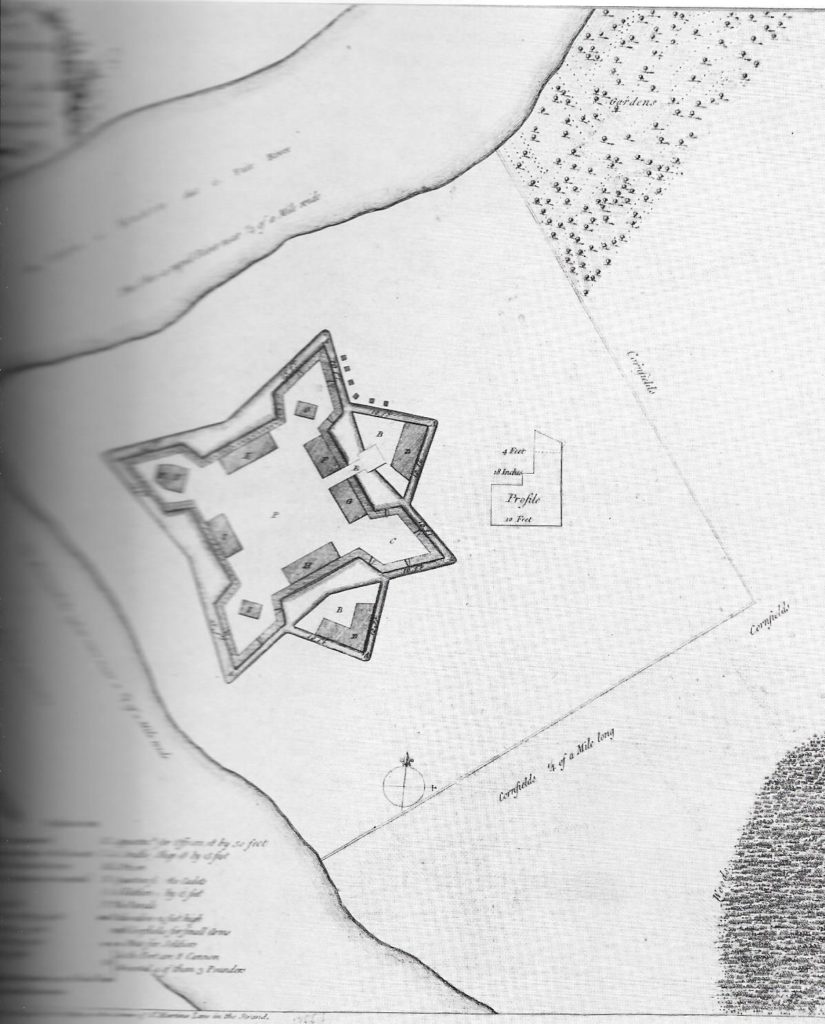
He chose as the site for his new fort a rise fifty feet above Loyalhanna Creek, halfway between Bedford and Pittsburgh. He named it Fort Ligonier, in honor of his superior, Sir John Ligonier. Ligonier, a Huguenot refugee, had risen through the British military ranks to become the overall commander of the British army.

Forbes was determined to succeed where Braddock had failed, in dislodging the French from the forks of the Ohio. In early September of 1758, 1500 men began construction of Fort Ligonier under the management of Major James Grant, Ensign Charles Rohr and Colonel James Burd.

The French Defeated

Of course, the French knew the British were coming. On October 12, they sent a party to attack Fort Ligonier while it was still under construction. By that time, 6000 British and colonial troops manned the fort – making Ligonier briefly the largest community in Pennsylvania after Philadelphia –  and they easily defeated the French.

The French suffered other blows in October of 1758. That same month, Forbes sent Colonel Henry Bouquet, along with George Croghan and a contingent of colonials, to a peace conference with France’s Indian allies. The result of the Easton Conference was a treaty between Great Britain and the Iroquois, Lenape, Mingo and Shawnee peoples. The Indians would abandon their alliance with the French if and the British promised to prevent white settlement west of the Alleghenies. We see how well that second part worked out, since I am writing this from the suburbs of Pittsburgh.

The French understood that they could not hold Fort Duquesne against Forbes’ force, especially without their Indian allies. The Forbes expedition set off from Fort Ligonier on November 15, 1758, with no tents and limited supplies, intending to move fast. On November 25, they arrived to find that the French had blown up and mined the fort, and then abandoned it. The future site of Pittsburgh, and the gateway to the vast North American interior, was theirs.

Decline and rebirth of the fort

Fort Ligonier served as a refuge for white settlers fleeing their homes during Pontiac’s rebellion in 1763. But, by 1766, it no longer had a purposes and Arthur St. Clair was appointed civilian caretaker. The fort slowly fell into ruin. In 1794, James Ramsey bought large tracts of the land originally owned by St. Clair. His son, John Ramsey inherited the land and in 1817 laid out the town he named Ramseyville. The town changed its name to Wellington not much later, and finally to Ligonier.

In the nineteenth century, Ligonier was known for agriculture, coal, stone and lumber. By the early twentieth century, interest in the historical fort began to grow. In 1927, John Jacob Hughes purchased the former site of the fort and presented it as a gift to the local Daughters of the American Revolution.

The DAR erected a monument at the site of the fort in 1934, and by 1946 a Fort Ligonier Memorial Foundation came into being to explore a reconstruction. The reconstructed fort opened in 1954, almost exactly 200 years after Forbes first conceived of a supply depot above the Loyalhanna.

Our visit to Fort Ligonier

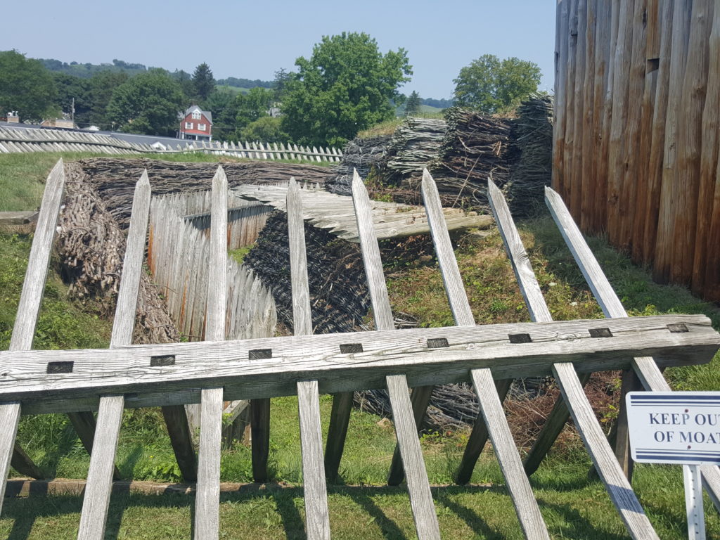
Al and I had a wonderful time visiting the fort. The reconstruction is meticulous, and the museum has much improved and expanded since our last visit several years ago.  The museum features what my husband tells me is an excellent miniature model of the fort, as well as a reconstruction of St. Clair’s parlor. The historical exhibits on the two galleries are very informative from both the micro view of the Forbes expedition and the macro view of the Seven Years War. Don’t miss George Washington’s pistols, a recent museum acquisition.

We had a delicious lunch at Carol & Dave’s Roadhouse in downtown Ligonier (think before your order wine; their pours are very generous!). And then we enjoyed the shops in Ligonier’s shopping district. Al loved the Toy Soldier Gallery. I bought some fancy loose tea at Crumpets Tea Shop (they made a blend just for me!), and started my Christmas shopping at My Honeybee. I’m old enough to be pretty jaded by gift shops, but My Honeybee was definitely special. The clerks in both shops were super-friendly. Ligonier benefits from their proximity to a Mellon estate. The shops are high-end but not overly pricey and there’s not a chain store to be found. This trip was so worth the 90-minute drive from Pittsburgh!

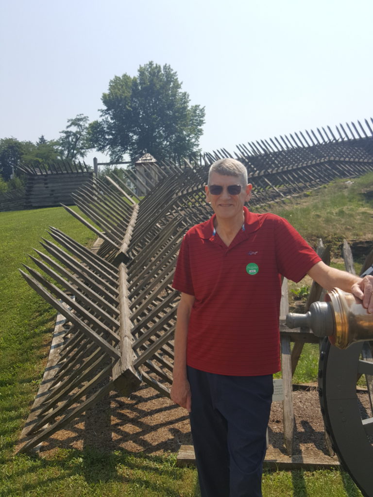
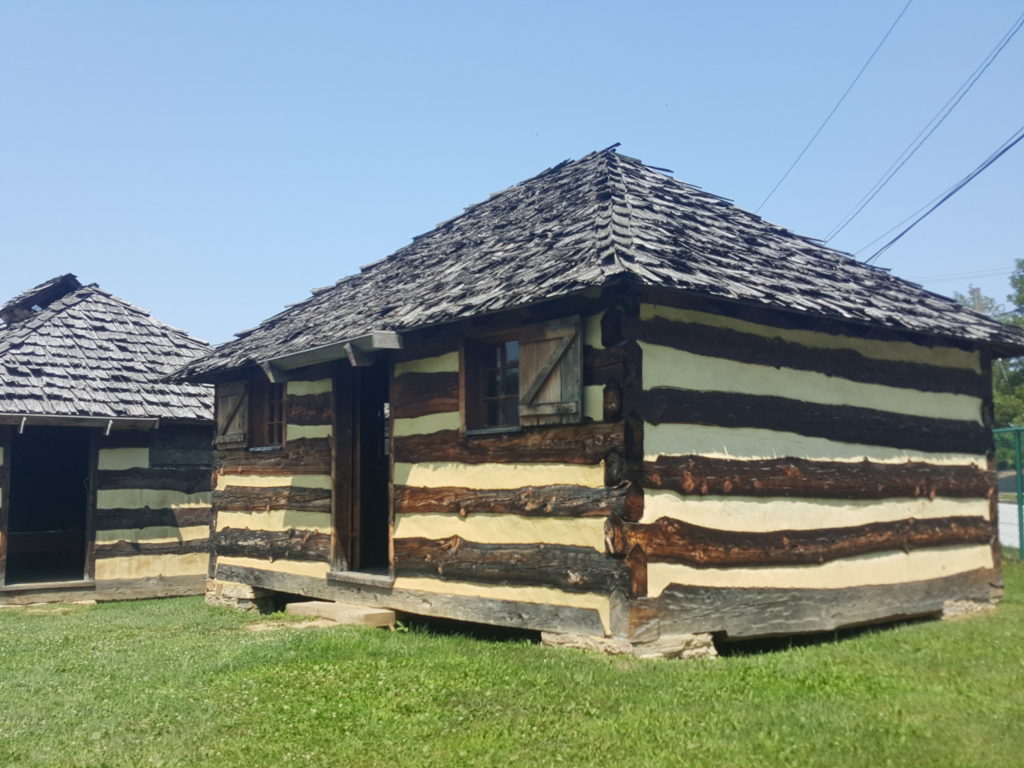
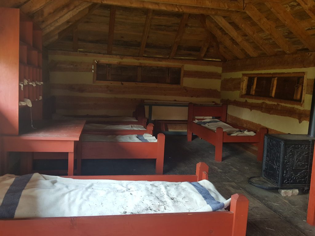
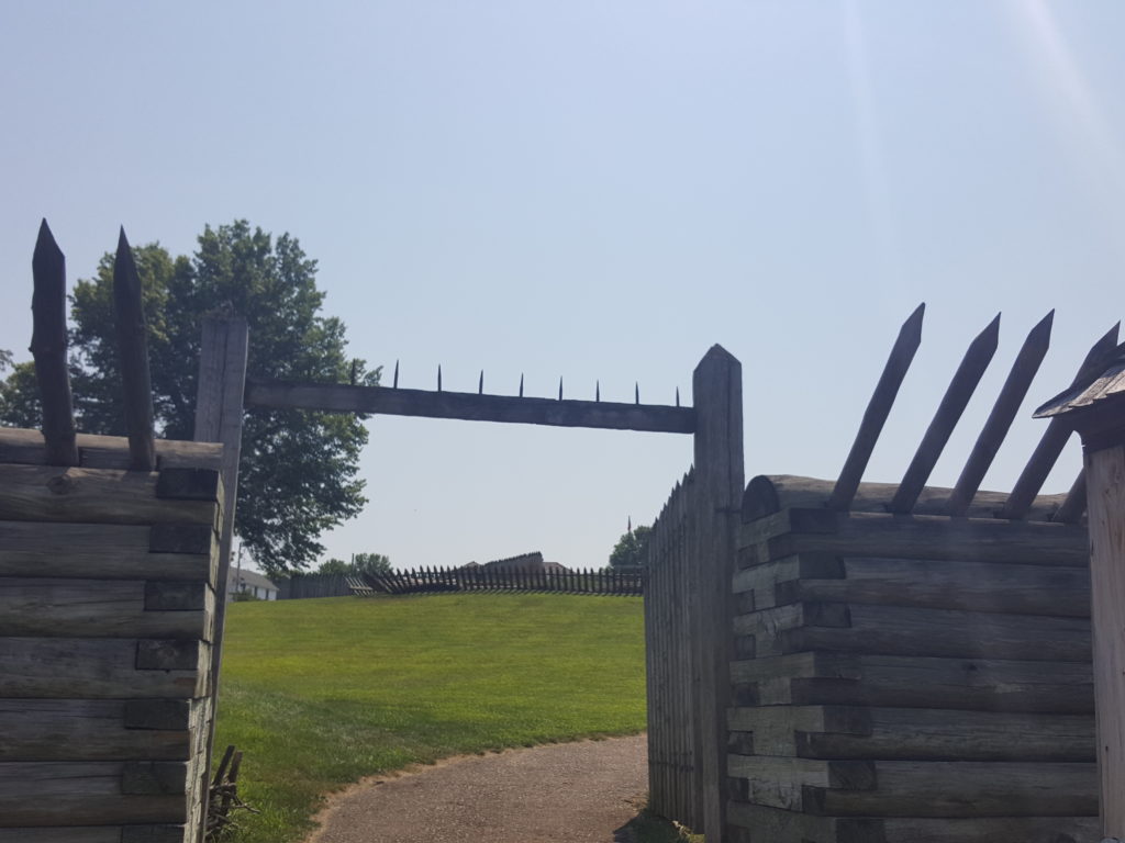
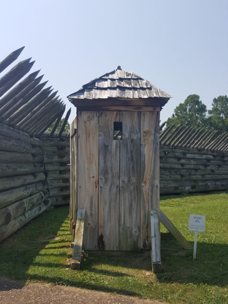
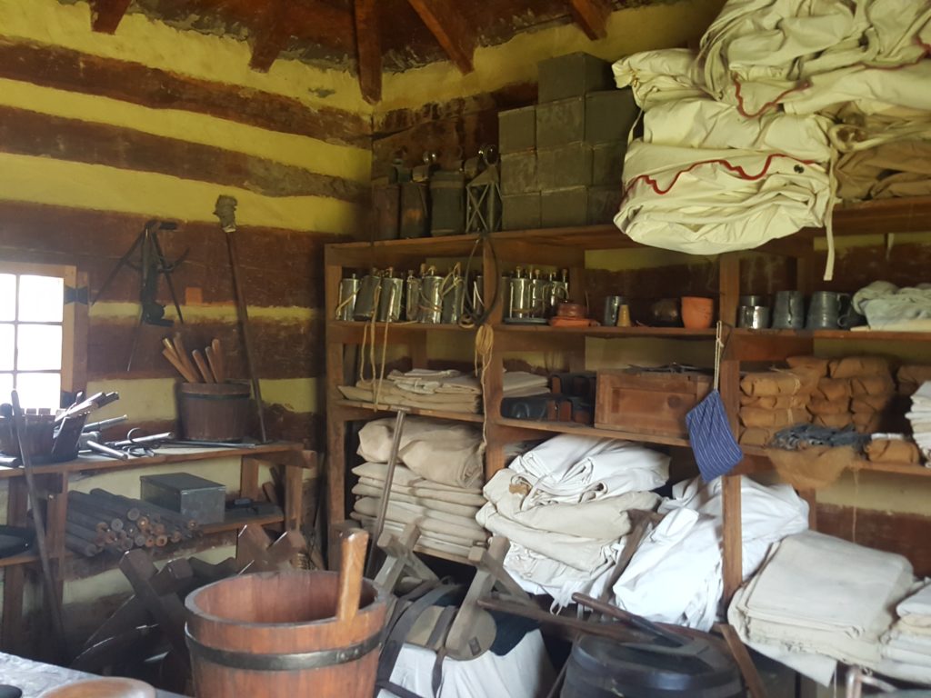
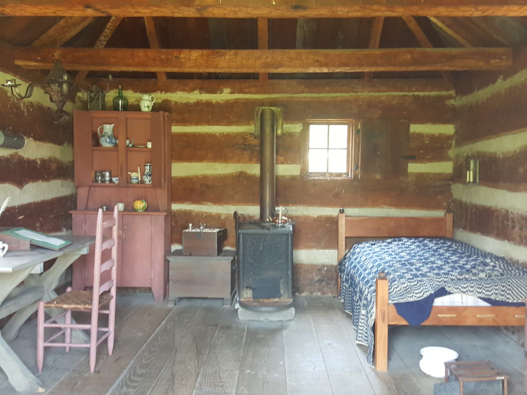
Here’s a sampling of our photos of taken at the fort.

Coming up…

The trip to Ligonier made me curious about so many people who were part of the Forbes Expedition. Was the Pittsburgh suburb of Upper Saint Clair named after John or Arthur St. Clair? Why? How did George Washington get in trouble again at Loyalhanna Creek? And why is Pittsburgh’s Grant Street named after Major James Grant? These questions and more will be answered in future posts. Also, this fall Al and I will be travelling the final sections of the National Road in Ohio, Indiana and Illinois. Stay tuned!
Sources

Lorant, Stefan. Pittsburgh: The Story of an American City. Lenox, Massachusetts: Authors Edition, Inc., 1988.

Stotz, Charles Morse. “The Reconstruction of Fort Ligonier: The Anatomy of a Frontier Fort.” Bulletin of the Association For Preservation Architecture, Vol. VI, No. 4 (1974), 2-103

https://forbesroadbook.com/historical-context/

https://en.wikipedia.org/wiki/Forbes_Expedition

https://en.wikipedia.org/wiki/Seven_Years%27_War

The National Road in West Virginia

One of the most delightful aspects of the drives that Al and I take for my blog posts is meeting people who love their home town and are eager to talk about it. We’ve met that kind of person in almost every small town that we’ve visited, including on our recent trip to a much bigger town: Wheeling, West Virginia.

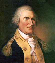
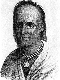
The lady above is Lydia Boggs Shepherd, an early example of a West Virginia lady who loved her home town and had the right friends. The National Road wouldn’t have gone through Wheeling without her.
Heimberger House

Al and I very much enjoyed our travels on the Maryland and Pennsylvania portions of the National Road. So,we recently decided to continue, moving west. First stop on the National Road in West Virginia: the Heimberger House.

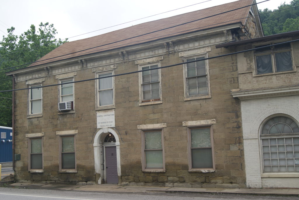
Also known as the Old Stone Tavern, this federal-style tavern and inn was built in he 1820s, very shortly after the National Road reached West Virginia in 1818. The small town where the tavern stands is named Roney’s Point, after the original landowner.

Ninian Bell originally owned the Old Stone Tavern, and James Beck succeeded him in 1828. Subsequent owners included Mrs. Sarah Beck, Moses Thornburg and Jacob Beck (not a relative of the original Becks). August Heimberger ran the hotel from 1869 until about 1892. Stage lines stopping at the tavern over the years included the Simms line and the Good Intent line. A construction company appears to currently occupy the building.

After the Heimberger House, we drove through several miles of heartbreaking rural poverty: abandoned houses, trailers and cars, rusted trailer homes, houses with peeling paint or mildewed siding. Front porches that looked like flea markets, jumbled with rusty bicycles, faded plastic toys, sprung sofas and plastic garbage bags with indeterminate contents. I hate to perpetuate a cliché, but this stretch of the National Road in West Virginia is really, really sad.

Shepherd Hall

The view improved as we approached Wheeling. The Wheeling suburb of Elm Grove is a bit scruffy around the edges in places. But it boasts a magnificent Presbyterian Church which appears to be thriving and very active in the community, as well as Shepherd Hall, now known as Monument Place.

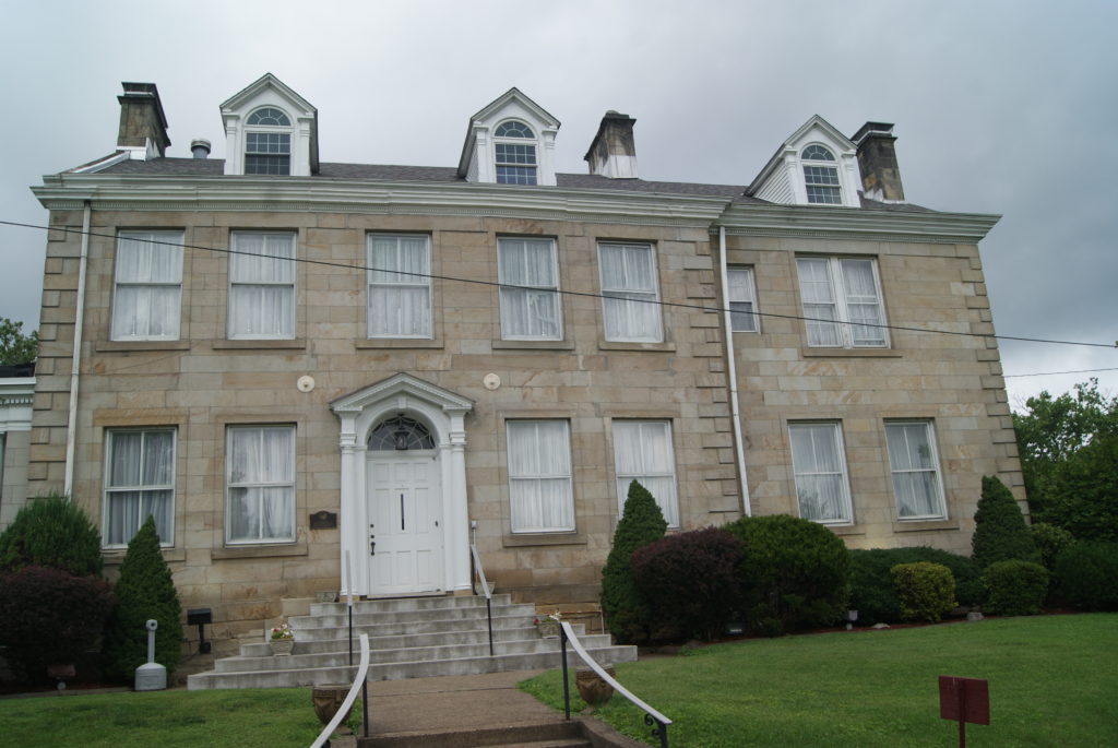
The Hall currently serves as a headquarters for the Masons, but in the early nineteenth century Moses Shepherd and his wife, Lydia Boggs Shepherd, lived there. See her picture above.

In the eighteenth century, Moses Shepherd’s father David had settled in the area, along Wheeling Creek, a tributary of the Ohio River. Local Indians burned David’s original home, which he called Fort Shepherd. Moses inherited the land upon his father’s death in 1795 and built Shepherd Hall at its current location in 1798. Moses and Lydia’s plantation and grist mill prospered. The couple became quite influential and had friends in Washington, DC, including Kentucky Representative Henry Clay. Their friendship with Clay was instrumental in diverting the National Road to go through Wheeling and pass right by the Shepherd home. Moses died in a cholera epidemic in 1832. Lydia remarried and lived at Shepherd Hall until her death in 1867, at the age of 101.

Another Madonna of the Trail stands near Shepherd Hall. We learned that twelve of these statutes, all identical, line the National Road and other migration routes in the west, from Maryland to California.

How friendly is this Indian really?

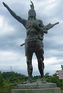
Next, we stopped at the Mingo Indian statue at the top of Wheeling Hill. Considering that the Indians were incensed enough about something to burn Fort Shepherd, one wonders if they really felt as friendly as this portrayal indicates. The inscription on the plinth reads “THE MINGO Original Inhabitant of this Valley Extends GREETINGS and PEACE to all Wayfarers.”

Wheeling’s Historic District

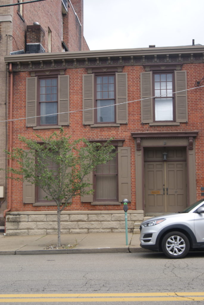
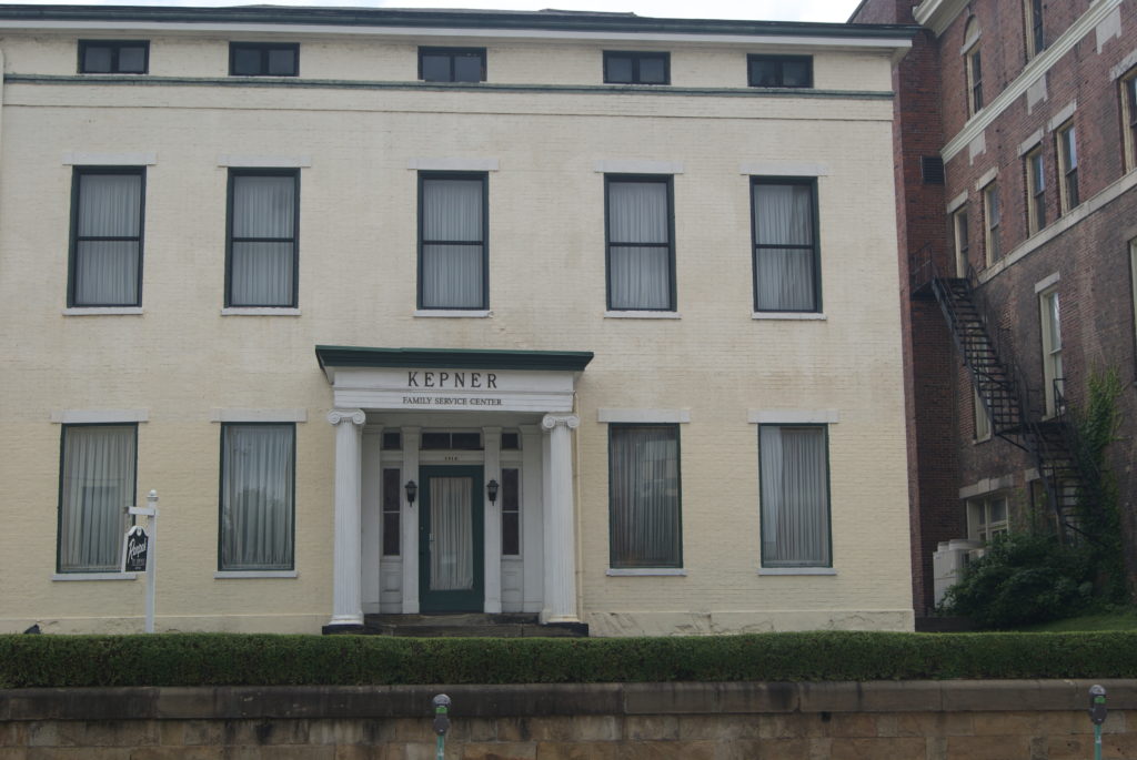
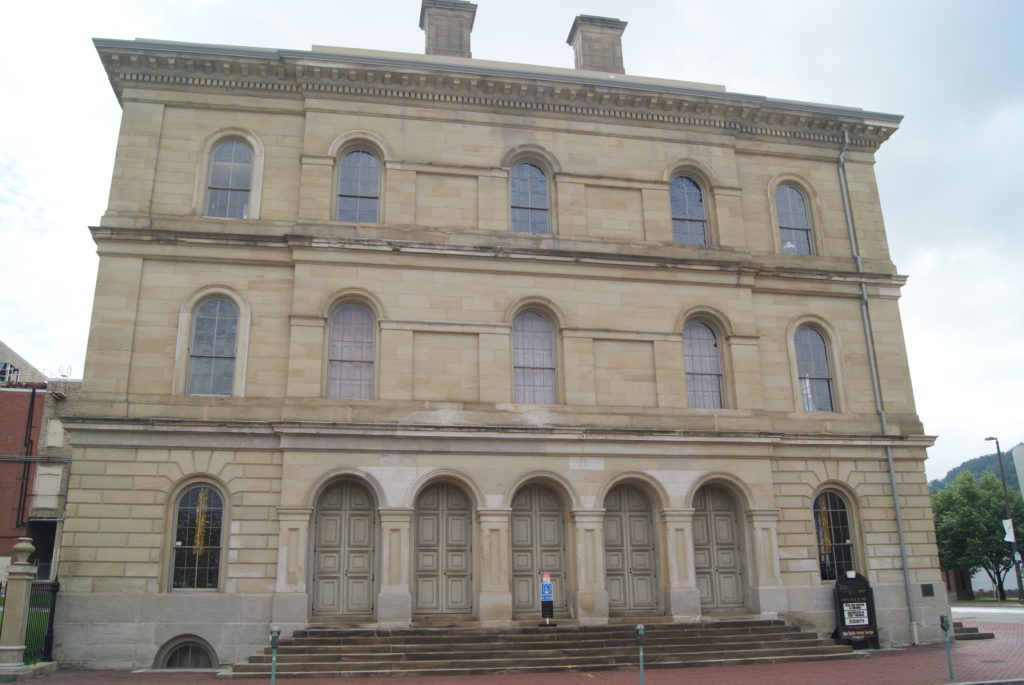
The historic district in north Wheeling encompasses a mixed bag of nineteenth century buildings. Some slump in a state of decrepitude. But many have been lovingly restored to magnificence. West Virginia Independence Hall also stands in the historic district, at 1528 Market Street. Built in 1860 at a cost of about $97,000, it served the federal government as a custom house, post office and courthouse. The building is famous as the home of the Wheeling Convention and the West Virginia Constitutional Convention, turning points in the separation of West Virginia from Virginia in the Civil War. It served as West Virginia’s seat of government from 1861 until 1863. Today, the building houses a museum of West Virginia history, but it was closed when we visited.

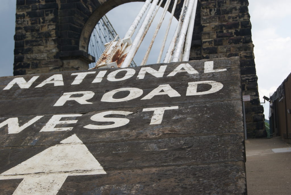
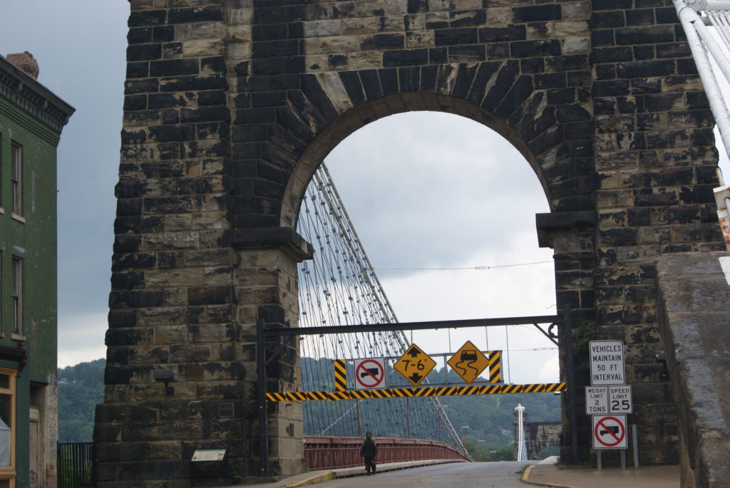
The National Road to Wheeling was completed in 1818. But, until 1849, passengers were ferried across the Ohio River for the next leg of their journey. The bridge that changed that is still a highlight of the historic district. The Wheeling Suspension Bridge was the subject of legal controversies that went all the way to the Supreme Court. When finally completed, it was the first bridge to span a major river west of the Appalachians, and the world’s largest suspension bridge from 1849 to 1851. It still stands today. It is closed to vehicular traffic, but foot traffic is still allowed.

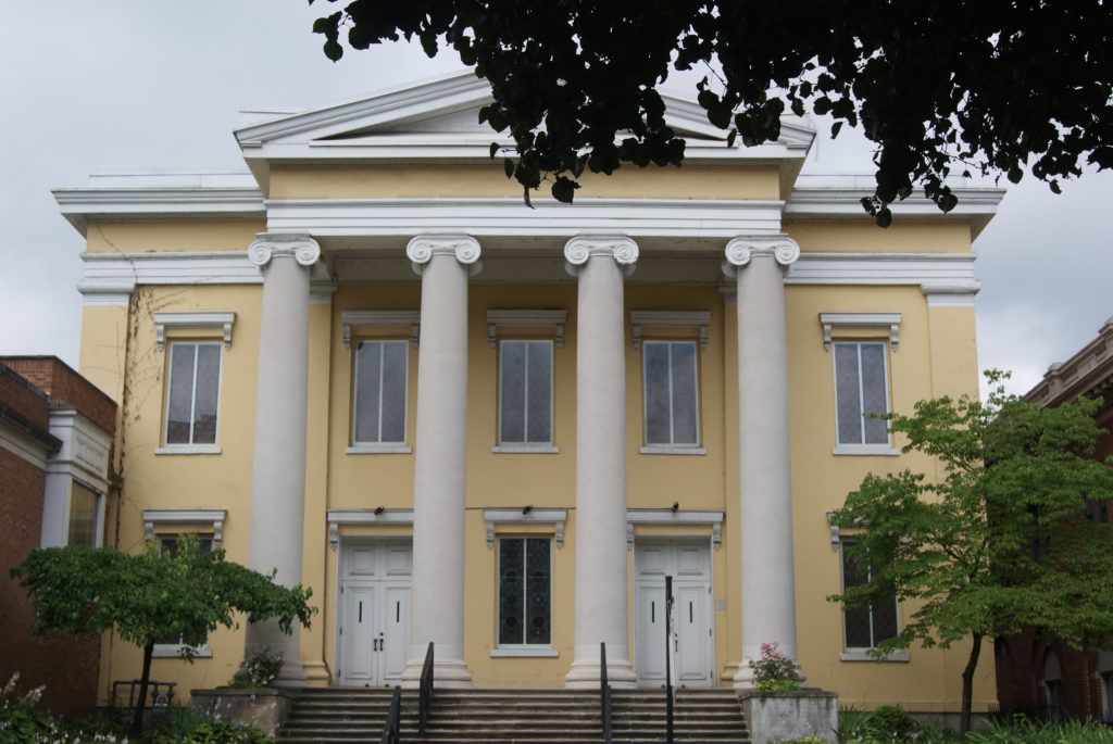
See below for some photos of the bridge and some of Wheeling’s historic buildings.

Centre Market District and Beyond

The highlight of Wheeling for us, though, was the Centre Market district. Only a few blocks long, the district includes the repurposed 1853 market building and original train station. Independently-owned restaurants and small shops line the street.

We had a wonderful lunch at The Market Café, and I bought a T-shirt at Ziklag and a candle at VC Wares. We also enjoyed Redecorate Consignment, for its high-quality furniture and friendly clerk.

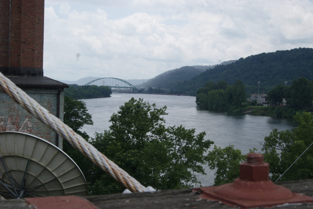
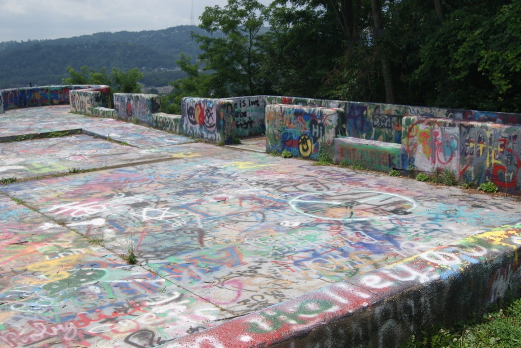
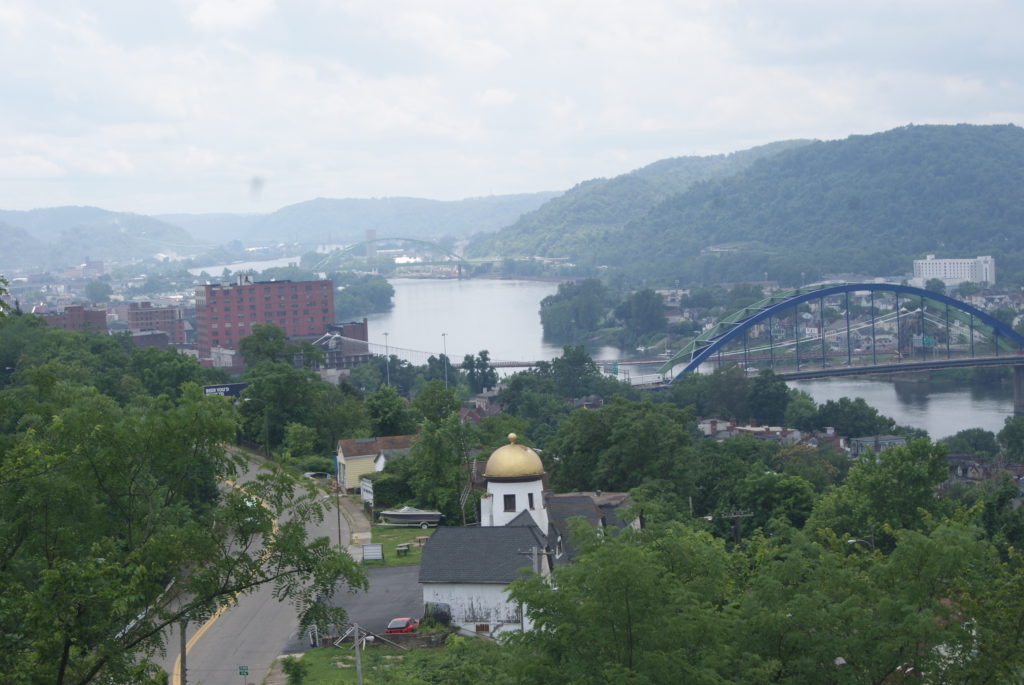
Jenny, our waitress at The Market CafĂ©, suggested one last stop to us. She said that we must see The Lookout. The Lookout is the remains of an unfinished mansion. The owner intended it for his beloved wife, and lost the heart to finish it when she died. The remains have been spray-painted by graffiti artists (some of them pretty lewd), and the location is a hangout and party site. But the view rivals Pittsburgh’s Mt. Washington overlooks. You can see the whole city of Wheeling laid out below you, and the Ohio River winding its way southwest towards Kentucky. We met a couple of friendly teenage skateboard types who urged us to drive on to Folansbee and see Steubenville from the Folansbee lookout, which they claimed was ever better. We didn’t have time that day, but we will make a point of visiting Folansbee on a future trip.

Worst thing about West Virginia: the rural poverty is sadly obvious. Best thing about West Virginia: the people are super-friendly and love their home state. Also: JUST as we got into our car to head back home, the rain that had threatened all day finally burst forth. Even the weather in West Virginia is friendly.

Sources

http://nationalroadpa.org/maps-attractions/west-virginia/

Heimburger House: https://www.hmdb.org/m.asp?m=66677

Shepherd Hall: https://www.waymarking.com/waymarks/WMKCT6_Shepherd_Hall_Wheeling_West_Virginia

https://en.wikipedia.org/wiki/Shepherd_Hall

Suspension bridge: https://en.wikipedia.org/wiki/Wheeling_Suspension_Bridge

https://www.ohiocountylibrary.org/wheeling-history/3304

Thomas Paull house: https://www.waymarking.com/waymarks/wmJD66_Thomas_Paull_House_Wheeling_Historic_District_Wheeling_West_Virginia

George Paull house: https://www.waymarking.com/waymarks/wmJDBD_Thomas_Paull_George_Paull_House_Wheeling_Historic_District_Wheeling_West_Virginia

First Presby church: https://www.ohiocountylibrary.org/wheeling-history/5337

Independence Hall: https://en.wikipedia.org/wiki/West_Virginia_Independence_Hall